Weekend weather: Mostly dry with warm temperatures


The weekend weather forecast for the days ahead looks set to be mostly dry in most areas, with some areas set to see temperatures as high as 20°C.
According to Met Éireann, Saturday will be dry and warm before heavy downpours return on Monday.
There will be a rather cloudy start for many today (Friday, May 13) with a few showers in the northwest.
It will become a little brighter in the east of the country and any lingering showers will die out in the afternoon. Sunny spells will develop during the day with highest temperatures of 16° to 19° degrees along with breezy westerly winds.
Later, clear spells will develop across many eastern parts of the country but it will remain cloudy in the west.
Westerly winds will ease by night allowing patches of mist and fog to form, mainly in the south. Lowest temperatures overnight of 5° to 9°, coolest in the southeast.
Weekend weather
Any lingering fog patches will quickly clear tomorrow Saturday morning, but it will remain a mostly cloudy morning.
However some sunny intervals will develop in the afternoon, according to the national forecaster and highest temperatures will reach 16° to 19° with light winds.
On Saturday night, there is expected to be long clear spells with a few fog patches forming in light breezes. An isolated shower may drift in from the Irish Sea to affect some eastern counties and lowest temperatures will range from 5° to 8°, in light east or northeast breezes.
Long spells of warm sunshine are expected on Sunday with just the small chance of a few showers developing in the west on Sunday afternoon.
Maximum temperatures are expected to range from 17° to 20° generally, but it may be a little cooler on coasts as sea breezes develop.
It will be mostly dry early on Sunday night with clear spells and lowest temperatures of 9° to 12°. However, rain will develop in the southwest before dawn on Monday.
Outlook for next week
Rain in the southwest will extend quickly northwards over the country on Monday, turning heavy in places with some thundery downpours possible.
Drier and brighter conditions will extend from the south later in the day. It is expected to be a humid day with highest temperatures of 16° to 19° in fresh southeast breezes.
It will be dry for a time on Monday night but another spell of rain will push up from the south later in the night and it will turn quite blustery. Lowest temperatures on Monday night of 9° to 12° in fresh to strong southeast winds.
It is forecast to be a wet day on Tuesday with outbreaks of rain pushing up from the south. The rain will reach all areas of the country during the day with blustery southerly winds too and highest temperatures of 16° to 19°.Early indications for Wednesday are that it will be rather unsettled with rain, possibly heavy at times moving over the country with blustery and gusty southerly winds. Temperatures staying in the mid-teens.
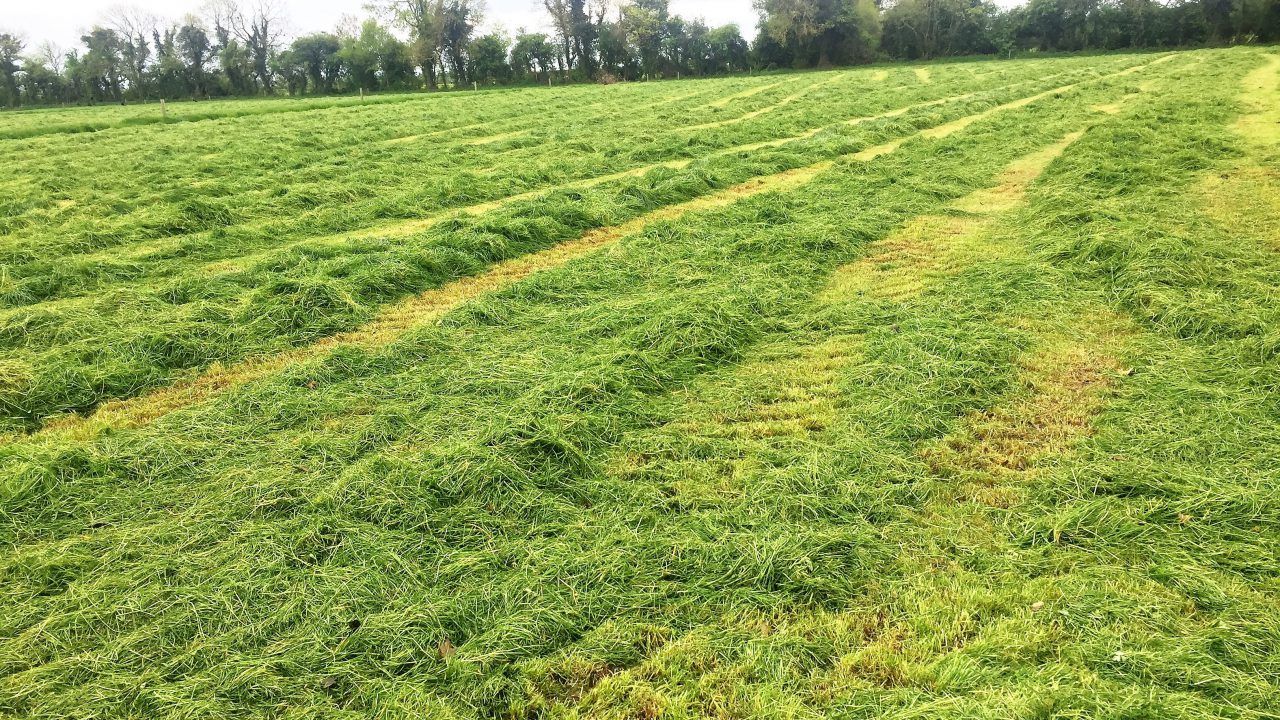
Drying conditions
Drying will be moderate to good today, Friday, and over the weekend thanks to mainly dry conditions and sunny spells.
Light winds and cloudier conditions at times will limit the drying somewhat over the weekend, along with isolated showers.
With more unsettled conditions on the way for Monday, there will be very little drying conditions for next week.
Weekend weather outlook for spraying
There will be opportunities for spraying over the weekend, according to Met Éireann. While conditions will be dry today (Friday), conditions may be too breezy in some parts for spraying, especially during the first half of the day.
Showers or longer spells of rain will limit spraying opportunities in the early days of next week.
Field conditions
Soils are saturated across most of Connacht and west Ulster, with some poorly drained soils waterlogged in north Connacht.
Soils are much drier elsewhere with soil moisture deficits of 20-35mm, driest in Munster and along the east coast.
Over the coming week, some moderately or well drained soils will become waterlogged at times in the northwest and south. Parts of the east will remain very dry with soil moisture deficits remain around 32mm.
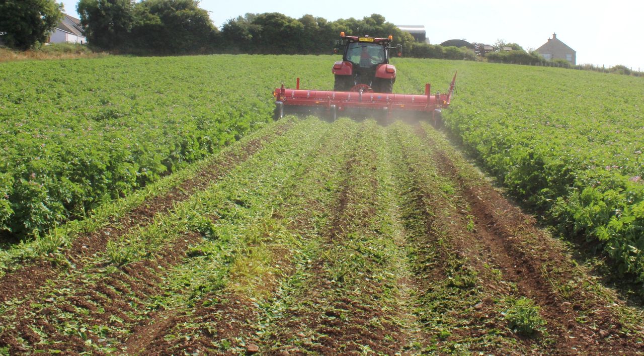
Blight warning
Yesterday (Thursday, May 12), Met Éireann issued a status yellow warning for potato blight across many parts of the country.
The national forecaster said that weather conditions conducive to the spread of potato blight will develop from Monday (May 16) through to Wednesday (May 18).
The warning , which applies to parts of all counties, came into effect at 3:00p.m yesterday and will remain in place until lunchtime on Wednesday.