Weekend weather: Mostly dry with some sunny spells

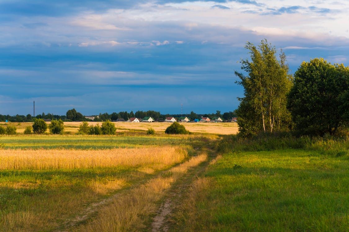
The weekend weather forecast indicates that it will stay mostly dry with some sunshine up to Monday, before becoming unsettled from Tuesday with showers or more persistent spells of rain.
According to Met Éireann, there will be a mix of sunny spells and scattered showers, and in parts of the south-east which are under drought conditions, any moisture potential will be welcome.
Mainly in the north and west initially, the showers will spread to all areas through this morning (Friday, August 21) and afternoon, before dying off from the north through the evening.
Highest temperatures will range from 13°C to 19°, coolest in the north-west and warmest in the south, with a light to moderate north-westerly breeze.
Any lingering showers further south will clear early on, leaving a dry night for most with a mix of cloud and clear spells, and just a few isolated light showers in the north and west.
Lowest overnight temperatures of 6° to 10° are expected, with a light north-westerly or variable breeze.
Weekend weather
Tomorrow, Saturday, is expected to be mostly dry with sunny spells, and just the odd light shower possible in the west and north.
Highest temperatures of 15° to 20° are forecast generally, warmest in the south, but a little cooler in the north-west, with a light northerly breeze
Saturday night will be dry for most with clear spells, but a little bit cloudier in the north-west with the chance of a light shower.
Some mist and fog patches will develop too and lowest temperatures will range from 6° to 10°, with near calm conditions or light variable breezes.On Sunday, any mist and fog will clear through the morning, leaving a dry day for most with sunny spells and just the odd light shower about.
Highest temperatures will range from 16° to 20°, with light southerly or variable breezes.A dry night is forecast for Sunday night with long clear spells, allowing mist and fog patches to form in just light variable breezes or near calm conditions, and with lowest temperatures of 7° to 11°.
Outlook for next week
Monday looks set to be dry and bright for most of the day, before cloud and possibly some showers move up from the south in the evening.
It will be warmer than previous days with highest temperatures of 18° to 22°, and a light to moderate south-easterly breeze.The current indications for Tuesday are for quite a bit of cloud with showers or more persistent spells of rain moving up from the south, some of which could be heavy or even thundery.
Highest temperatures of 17° to 21° are forecast, with moderate south-east to east winds.It looks likely that it will stay unsettled for the rest of the week with showers or more persistent spells of rain.
Field conditions
Away from the north-west, most soils are experiencing restrictions to growth with soil moisture deficits (SMDs) ranging between 25mm and 97mm, highest in the south-east.
In parts of the far north-west, soils are saturated while some poorly drained soils are waterlogged.
Over the coming week, more soils in the north-west will become saturated or waterlogged. Elsewhere, SMDs will likely decrease by between 5mm and 25mm.