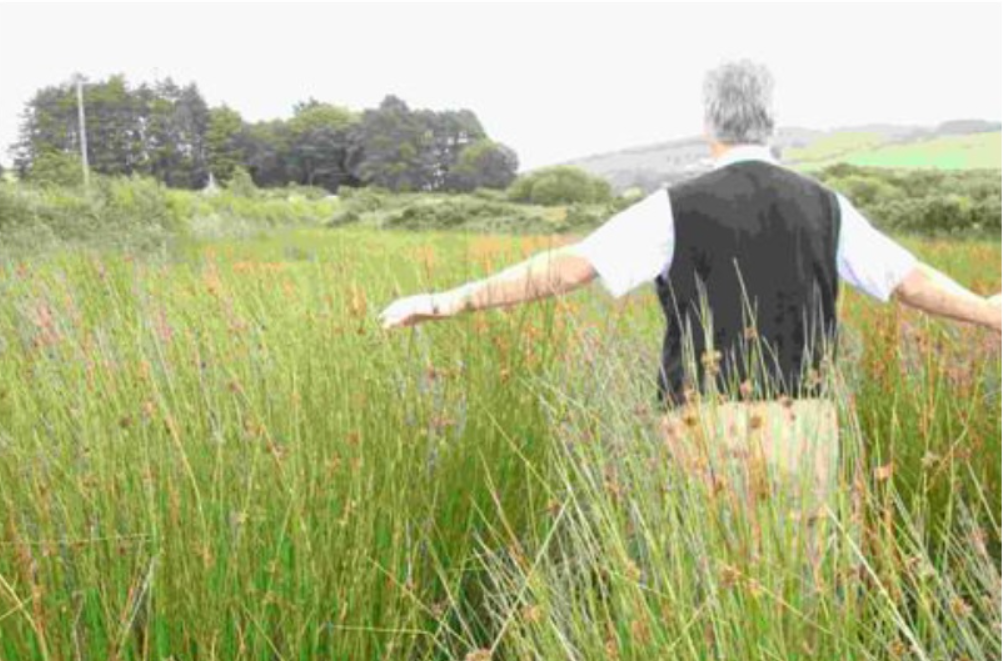
Weekend weather: Heavy rainfall in places with a risk of some localised flooding

The weather this weekend will be unsettled, with heavy downpours possible with a risk of some localised flooding in places, Met Éireann has said.
Today (Friday, October 22), there will be some bright or sunny spells, but a good deal of cloud overall.
Scattered showers will feed eastwards across the country in a moderate westerly breeze, the showers most frequent across the northern half of the country. Highest temperatures will range from 11° to 14°.
Showers will largely die out early tonight to leave most areas dry. However, later in the night, outbreaks of rain will move in from the Atlantic to affect west Connacht and northwest Ulster.
There will be lowest temperatures of around 6° to 10°, with southerly breezes increasing fresh overnight and gales will develop on Atlantic coasts.
Heavy falls with risk of localised flooding
On Saturday morning, rain will spread across most of the western half of the country, turning heavy in the southwest.
Elsewhere, there will be scattered light showers. During the afternoon and evening, rain will extend eastwards to all areas with further heavy falls possible in the southwest, bringing a risk of localised flooding there.
It will be mild and windy with highest temperatures of 12° to 15° in strong and gusty southerly winds.
There will be a wet start to Saturday night with outbreaks of rain. There will be further heavy falls in places with a risk of some localised flooding.
Rain will clear eastwards into the Irish Sea later in the night, with scattered showers following from the west. It will be a mild night with lowest temperatures of 9° to 12° in fresh southwest winds.
There will be bright spells and showers on Sunday. The showers will be frequent across the west and north of the country with some heavy downpours possible.
There will be highest temperatures of 12° to 15° in fresh and gusty southwest winds.
On Sunday night, showers will become largely confined to Atlantic coastal counties, with good clear spells developing elsewhere. It will be a cooler night with lowest temperatures of 6° to 9° in moderate to fresh southwest winds.
Monday looks set to be a fresh day with sunny spells and scattered showers. The best of the sunshine will be across the east and south of the country with the showers most frequent in the west and north.
There will be maximum temperatures ranging from 10° to 13° in fresh and gusty southwest winds.
Drying, spraying, field conditions
There will be moderate drying today away from scattered showers which will mainly be in the morning. Drying will be fairly poor thereafter due to the unsettled weather conditions with frequent spells of wet weather.
There will be limited opportunities for spraying over the coming days due to rain, showers and overall breezy conditions. Today will be the best day for spraying, especially in the afternoon with a combination of mostly dry weather and light to moderate winds.
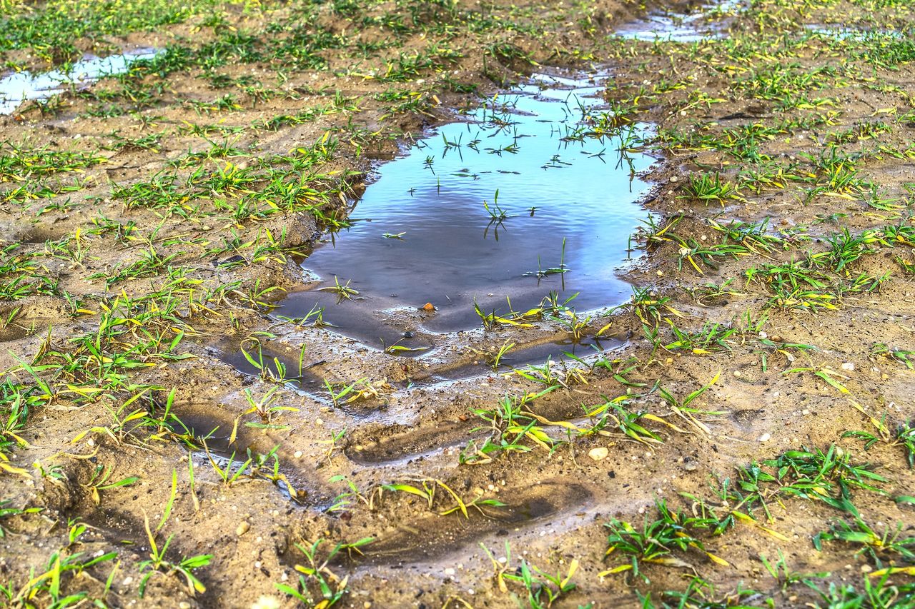
Most soils are saturated with most poorly-drained soils waterlogged as well as moderately drained soils in the southwest and northwest.
The exception are soils in eastern central and southern Leinster which have soil moisture deficits of 25 to 30mm.
Over the coming days, well-drained soils will remain mostly saturated and the majority of soils will remain saturated with most poorly-drained soils remaining waterlogged and most moderately-drained soils becoming waterlogged.
All soil types in eastern central to southern parts of Leinster will remain above saturation level, but their soil moisture deficits will decrease.