Weekend weather forecast: Showers and sunny spells


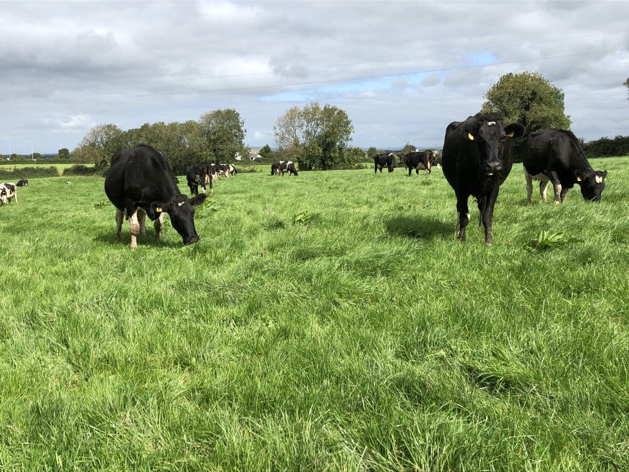
As silage season remains in full swing, the weekend weather is expected to be largely dry to start this morning (Friday, June 25) with a good deal of cloud. It will be a cool and fresh day today with just occasional sunny intervals.
Scattered showers will mainly affect eastern coastal counties, with the chance of more prolonged showers there later in the day, according to Met Éireann.
Showers will be more isolated further west with highest temperatures of 13° to 17°, cooler in the north and northwest, in moderate to fresh northerly winds.
Showers will continue for a time tonight in the east and southeast but it will stay mostly dry elsewhere, with good clear spells developing and just the odd stray shower.
Lowest temperatures tonight will range from 7° to 10° in light to moderate northerly breezes.
Weekend weather forecast
Tomorrow, Saturday, will bring a mix of cloud and sunny spells.
Scattered showers will develop but becoming largely dry and sunny by the evening, according to the national forecaster.
Highest temperatures of 14° to 18° in light to moderate northeasterly breezes, fresher on southeastern coasts.
Saturday night will be a dry night with good clear spells and lowest temperatures of 7° to 10° in a light to moderate northerly breeze.
Sunday
Then on Sunday (June 27), the national forecaster says it will be largely dry with cloud building up during the morning mixed with some sunshine.
A few well scattered showers will develop and there is a chance of rain developing in southern and southeastern areas.
Highest temperatures on Sunday are expected to range from 16° to 20° generally, possibly reaching 21° in the south, in light to moderate northerly breezes.
Sunday night will be a largely dry night with mostly clear skies and just isolated showers.
Lowest temperatures of 7° to 11° on Sunday night with mist and hill fog developing in light northerly breezes.
Next week
Conditions will become more settled from Monday with good sunny spells and remaining mostly dry with just some light isolated showers developing.
There is the chance of some heavy showers moving into the southeast during the day.
Highest temperatures of 18° to 23°, cooler in the north and northwest in light to moderate northerly breezes.
A dry and largely clear night is forecast for Monday night with mist and hill fog developing in mainly light northerly breezes and lowest temperatures of 8° to 11°.
Looking further ahead into next week, generally it will be mainly settled with a good deal of dry weather and just some showers at times. Met Éireann has said it will feel rather pleasant with sunny spells, light winds and temperatures in the mid-20s.
Drying conditions for farming
Drying conditions will be quite poor today (Friday) in parts of the north and east with showers expected and rather cloudy conditions.
However, with much of the west and south expected to be overall dry with some sunny spells, there will be quite good drying conditions with a moderate to fresh breeze.
Drying conditions will be moderate or good over the weekend for most areas with a moderate breeze, a good deal of dry weather and higher temperatures.
However there will be scattered showers around on Saturday, and a chance of rain in the southeast later on Sunday.
There will likely be moderate to good drying conditions from Monday in most areas, with conditions poorest for drying in southern or southeastern coastal counties due to a continued chance of rain.
Weekend weather forecast for spraying
Spraying opportunities will be hindered today (Friday) due to a moderate to fresh northerly wind, and showers in the north and east.
Met Éireann has indicated that with winds easing light to moderate from Saturday, the weekend and next week offer better opportunities for spraying.