Weather: Weekend unsettled but turning drier early next week

The weather over the weekend it set to be quite unsettled, with fairy widespread outbreaks of rain. However, we will see a return to drier conditions early next week.
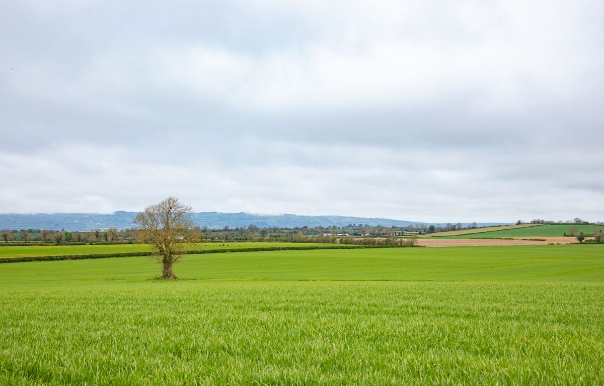
It will be largely dry with sunny spells this morning (Friday, July 22), though some isolated showers will occur.
During the afternoon and evening, cloud will build from the southwest, mainly over Munster and Connacht, bringing some patchy drizzle. Highest temperatures will be 18° to 22°C in light southwest or variable breezes.
Tonight, outbreaks of rain in the southwest will extend across all but northeastern parts by morning. The rain will be heavy at times, particularly in the southwest, west and northwest.
South to southeast winds will strengthen tonight as well, increasing fresh to strong on southwestern and western coasts. It will be a mild night, with temperatures not falling below 11° to 15°.
Tomorrow (Saturday, July 23) will see a wet start, with some mist and hill fog. There will be widespread outbreaks of rain with heavy bursts in places, which will clear northeastwards by midday with some drier and brighter intervals developing.
However, further falls of rain will follow through the afternoon, turning heavy in the west and north. Highest temperatures will be 18° to 23°, warmest in the midlands and east. Southerly winds will be mostly moderate to fresh but strong at times on exposed coasts.
Tomorrow night will see mild and humid weather with showery outbreaks of rain, more persistent in the west and northwest.
Some mist and hill fog will develop during the night before moderate southerly winds freshen towards morning, becoming strong on southern and western coasts. Temperatures will not fall lower than 14° or 15°.
Sunday (July 24) will be a breezy day with sunny spells and scattered showers, which will be heavy or thundery at times, especially in the west and north. Southwesterly winds will be fresh and gusty, increasing strong at times.
Highest temperatures will range from 17° or 18° along Atlantic coasts to 22° in the east.
Sunday night will see scattered showers continuing through the night but becoming lighter. The best of dry intervals will be in the east. Southwesterly winds will moderate and veer westerly. It will continue mild as well, with temperatures generally not falling below 12° to 15°.
Monday (July 25), will start with a good deal of cloud with scattered showers continuing through the morning and afternoon, before becoming largely confined to Atlantic coasts, with some bright or sunny spells developing elsewhere.
Highest temperatures will be 15° to 20°, coolest in the northwest with a mostly moderate onshore wind. It will be largely dry overnight, with clear spells and just isolated showers.
Tuesday, Wednesday and Thursday will see a good deal of dry weather through midweek with just light showers. It will feel pleasant, with sunny spells and light breezes.