Weather to become more dry and settled this week


After a number of weeks of inclement conditions, the weather will turn more dry and settled this week, Met Éireann is forecasting.
There will be some sunny spells today (Monday, March 15) but a good deal of cloud overall, with scattered patches of rain or drizzle. It will feel quite mild though, with highest temperatures of 10° to 14° in moderate westerly breezes with some hill and coastal mist about this morning.
Outbreaks of rain will develop in northwestern counties early tonight and will extend southeastwards over the country overnight. Rainfall totals will be small and some areas will hold dry.
Cloud and patchy drizzle will clear quickly from southern counties tomorrow morning (Tuesday, March 16), to leave a dry and mostly sunny day nationwide. Highest temperatures will range from around 10° or 11° in north Ulster to 15° or 16° in south Munster, with light northwest breezes.
It will turn cold under mostly clear skies on Tuesday night, with some fog patches expected to develop. Minimum temperatures generally will be between 0° and 3°, with a risk of frost.
Frost and fog will clear on St. Patrick’s Day morning (Wednesday, March 17), leaving a dry and mostly sunny day. There is the chance of some cloud moving in across west Connacht and north Ulster later in the day.
Cloud is expected to spread southwards over Ireland during Wednesday night, with a few patches of drizzle possible. Minimum temperatures will be 5° to 8°, occurring early in the night.
It looks set to be rather cloudy on Thursday (March 18), with some patches of drizzle and mist around early in the day but tending to clear away from most parts by the afternoon. Highest temperatures will be 10° to 13° in moderate northerly winds.
It will be dry in most areas on Thursday night and cloud will break in some areas allowing it to turn quite cold with lows of 2° to 4°. Elsewhere, lowest temperatures will range from 5° to 9° with light northeast winds.
It will be largely dry again overnight on Friday, with some clear spells but overall plenty of cloud. Lowest temperatures will be 2° to 5°.
Early indications suggest that high pressure will continue to dominate the weather over Ireland next weekend, bringing mostly dry and settled weather conditions.
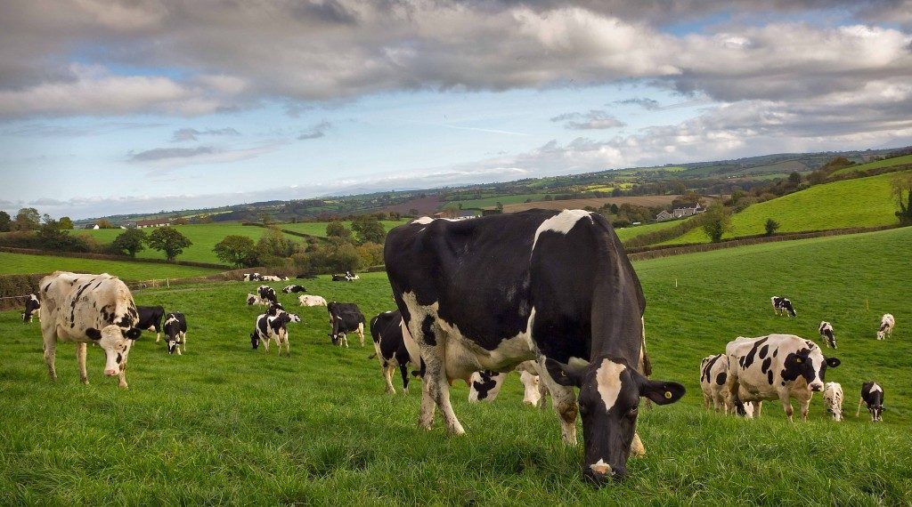
Field conditions
In its latest farming forecast, issued yesterday (Sunday, March 14), Met Éireann said that poorly-drained soils are waterlogged nationwide. Moderately-drained soils across the west and north of the country are also waterlogged, and saturated elsewhere. Well-drained soils are currently saturated nationwide.
Soil moisture deficits will increase over the next week with predominantly dry conditions. Both well-drained and moderately-drained soils will have soil moisture deficits of 5mm to 10mm by next weekend. Poorly-drained soils will remain saturated. Field trafficability will gradually improve throughout the week.