Weather: Mix of sunny spells and showers for much of week


The weather forecast for the week ahead includes a mix of sunshine and showers for the first half of the week with temperatures below average for the time of year.
While there will be some more persistent spells of rain during the second half of the week, current indications are for more settled conditions to develop towards the end of the week and into the weekend, with temperatures increasing too.
According to Met Éireann, there will be a mix of sunny spells and showers today (Monday, June 8).
While it will be a dry morning for most, the showers will become more frequent through the day and some will be heavy, especially further north.
Highest temperatures of 12°C to 16° are forecast, coolest in the west and mildest in the east, with moderate south-west to west winds, fresher near western coasts.
Tonight will see a mix of clear spells and scattered showers feeding in from the Atlantic.
Lowest temperatures will range from 5° to 10°, with light to moderate south-west to west winds, fresher near western coasts.
Tomorrow, Tuesday, will bring another day of sunshine and showers, again with some heavy ones, especially further north.
Cloudier conditions will develop over the northern half of the country in the evening.
Highest temperatures tomorrow will range from 11° to 16°, with moderate westerly winds.
On Tuesday night, there will be a mix of clear spells and scattered showers feeding in from the Atlantic, with generally drier conditions further east.
Lowest temperatures will range from 5° to 9°, with light to moderate south-west to west winds.
Wednesday will bring a mix of sunshine and showers to begin.
The showers will clear eastwards, with drier conditions extending from the west through the afternoon and evening, but with cloud also starting to build from the west in the evening.
Highest temperatures on Wednesday are expected to range from 12° to 16°, with moderate to fresh westerly winds, easing late in the day.
Wednesday night will start off dry for most but cloud followed by outbreaks of rain and drizzle will spread eastwards across the country, reaching most areas by morning.
Lowest temperatures of 7° to 10° are expected, with light westerly winds backing south-westerly and freshening with the arrival of the rain.
Weather for rest of week
According to Met Éireann, Thursday will start off wet with widespread rain.
The rain will clear eastwards through the morning and afternoon, with scattered showers following and the odd sunny spell possibly breaking through.
It will be milder than previous days with highest temperatures of 14° to 17°, and with moderate to fresh south-westerly winds veering westerly with the clearance of the rain.

Current indications for Friday are for drier and sunnier conditions further south and cloudier conditions with outbreaks of rain further north.
Highest temperatures will range from 15° in the north to 20° in the south, with moderate to fresh south-west to west winds.
Current indications suggest some decent dry and sunny spells over next weekend, accompanied by a rise in temperatures.
Farming
Drying conditions will be generally be moderate or poor for much of the coming week with spells of rain or showers along with cooler conditions.
Some better drying is likely on Wednesday, especially across the midlands and east and again towards the end of the week, with the chance of more settled conditions then.
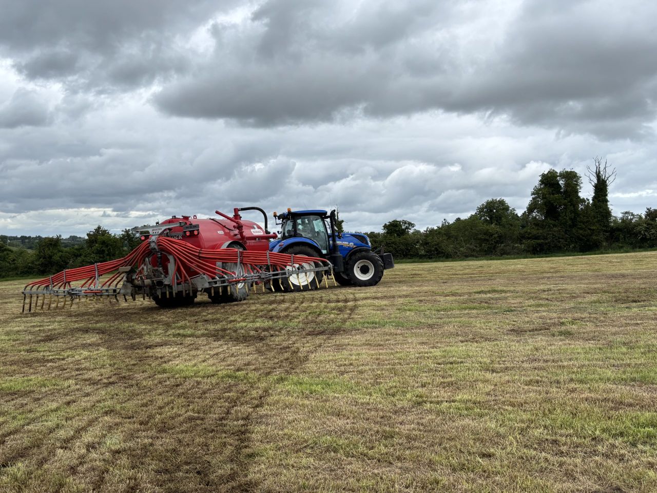
Spraying
There will be limited spraying opportunities over the coming week due to rain or showers and breezy conditions at times.
There will be some opportunities on Monday morning and early afternoon, mainly in the east, before showers spread from the west.
There may be some opportunities too on Wednesday, especially across the midlands and east. There may be better opportunities over next weekend.
Field conditions
Soil moisture deficits (SMDs) have decreased across all areas recently with unsettled conditions, with many well drained soils now close to saturation and with many moderately and poor drained soils waterlogged.
Field conditions are drier in the east and south-east though, with SMDs ranging from 5mm to 30mm.
There will be little change in field conditions over much of the coming week, though SMDs will are likely to start to increase towards the end of the next seven days with the likelihood more settled conditions.