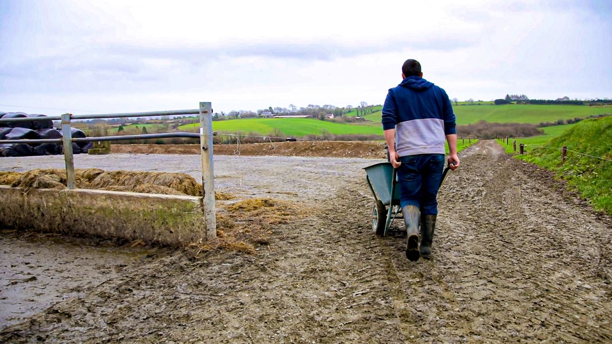
Weather: Mainly dry and settled conditions ahead


The coming week will be dominated by high pressure, with largely dry and settled weather, though there will be some light rain or drizzle at times, particularly early in the week.
It will be frosty across the country to start this morning (Monday, January 17) with some patches of ice and occasional mist and fog. Frost and any mist and fog will gradually clear through the morning, leaving a dry day with sunny spells.
Highest temperatures will be 5° to 8° generally, but slightly milder in the southwest with highest temperatures of 8° to 10°, in light to moderate southeast or variable winds.
Tonight will be dry for most with clear spells to start, but it will turn cloudier from the Atlantic overnight with patchy rain and drizzle developing in the west and southwest towards morning.
Tonight will be coldest early in the night with lowest temperatures of 0° to 4° generally. It will be milder in Munster and south Connacht with lows of 4° to 8°. Patches of mist and fog will develop in a light to moderate southerly breeze.
Tomorrow (Tuesday, January 18) will see generally cloudy weather, with patchy outbreaks of rain and drizzle over the western half of the country to start. The rain and drizzle will gradually spread eastwards through the day, easing as it spreads with many eastern areas staying dry.
Tomorrow will be milder than recently, with highest temperatures of 8° to 11° in moderate southwest winds.
Tuesday night will be cloudy and mild to start with scattered patches of light rain and drizzle. A band of more persistent rain will spread from the northwest later in the night, becoming patchy as it moves southwards.
It will turn cooler as the rain clears towards morning with lowest temperatures of 4° to 7°. Patches of mist and fog will develop in light to moderate west to northwest winds.
Any lingering rain will clear on Wednesday morning (January 19), leaving a largely dry day with just isolated patches of drizzle. It will be quite cloudy overall but occasional sunny spells will develop, especially in the south and east. Highest temperatures will be 7° to 9° in a light to moderate northwesterly breeze.
It will stay mainly dry on Wednesday night with clear spells developing, most prolonged in eastern and southern areas. Lowest temperatures will be 0° to 4° generally, though a touch less cold in the west and northwest in a light breeze.
Thursday (January 20) will be another largely dry day with sunny spells, though there will be a good deal of cloud in western and northern areas. Highest temperatures are expected to be 6° to 9° in a light northwesterly breeze.
It will stay dry with a few clear spells on Thursday night. Patches of mist and fog will form in a light breeze. Lowest temperatures will be 0° in the south of the country to 4° in the north and northwest.
Friday (January 21) will be a dry day with sunny spells and light breezes. Again it will be cloudiest over western and northern areas with the best of the sunny spells elsewhere. Highest temperatures should be 6° to 8°.
High pressure will stay in place over next weekend, bringing plenty of dry and settled weather, though there will be the odd patch of light rain and drizzle at times.