Weather forecast: Unsettled week with wet and blustery bursts


The weather forecast for the week ahead looks set to be rather unsettled with wet and blustery conditions.
A Status Yellow warning for rain remains in place until 8:00p.m today (Monday, November 3) for counties Galway, Mayo, Clare and Kerry.
In terms of the general forecast, starting with today (Monday), it will be dull and blustery with outbreaks of rain, heaviest across the western half of the country with ongoing potential for localised flooding.
According to Met Éireann it will also be quite mild with highest temperatures of 13°C to 16° in fresh to strong south-west winds.
Tonight, outbreaks of rain will continue in Munster and south Leinster, heavy in places with fresh southerly winds.
Elsewhere will be drier with clear spells and isolated showers in light to moderate southerly winds and lowest temperatures of 10° to 14°.
On Tuesday morning and afternoon, outbreaks of rain will spread northwards across the country.
The rain will clear north-eastwards to scattered showers in the evening.
Highest temperatures will range from 13° to 16° in moderate to fresh southerly winds, easing later.
There will be clear spells and showers at first on Tuesday night. It will turn cloudier overnight with scattered outbreaks of rain and drizzle spreading from the south.
Lowest temperatures of 8° to 12° are expected, a little milder in the south-east, in light to moderate south-east winds.
Wednesday is expected to be a wet day with widespread rain, heavy in some western areas. The rain will ease towards evening.
It will become breezier with south-west winds increasing moderate to fresh and highest temperatures of 13° to 16°.
It will remain largely cloudy overnight on Wednesday with scattered patches of light rain and drizzle.
Lowest temperatures will range from 9° to 13° in moderate to fresh southerly winds.
A drier and brighter start to Thursday is forecast with sunny spells and just a few lingering patches of drizzle.
Turning cloudier through the day with a spell of rain spreading from the Atlantic.
It will be blustery in fresh south to south-east winds with highest temperatures of 11° to 14°.
Meanwhile, further outbreaks of rain are likely on Friday.
Highest temperatures of 11° to 15° are expected in moderate to fresh southerly winds.
Outlook for next weekend
According to Met Éireann, there is uncertainty in the details of the forecast but current indications suggest that it will remain unsettled next weekend with Atlantic low pressure systems bringing further spells of rain.
Farming weather
Drying conditions will remain generally poor due to frequent rain and high humidity.
Brief periods of slight drying may occur in eastern areas between showers, but overall, drying potential will stay low throughout the week.
Spraying opportunities will continue to be very limited because of frequent rain, high humidity, and moderate to strong winds.
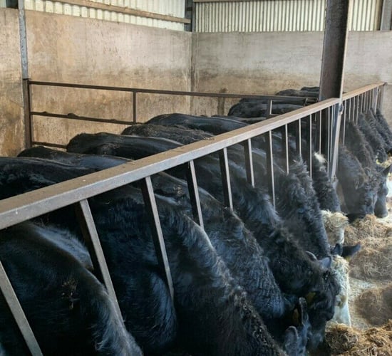
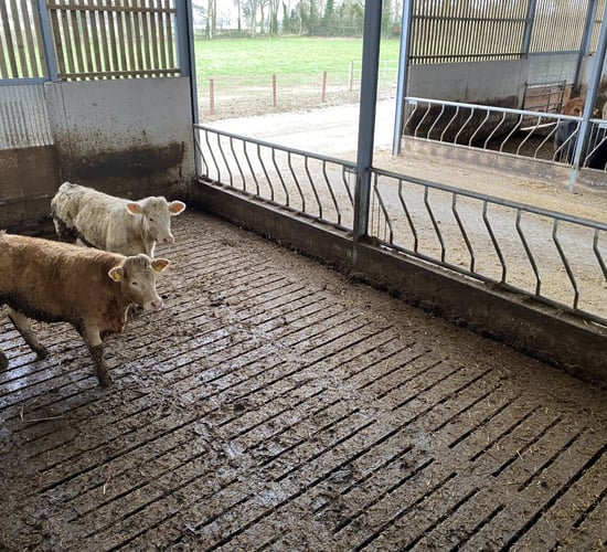
Soil conditions across the country remain saturated or waterlogged, with little improvement expected over the coming week.
The combination of persistent rain and already wet soils means that well-drained soils are now fully saturated, moderately drained soils are either saturated or waterlogged, and poorly drained soils remain completely waterlogged.
These conditions are expected to persist or worsen, particularly in the west and south, where rainfall totals will be highest.
As a result, field work and trafficability will remain very poor.