Unsettled weather to continue over the weekend - Met Eireann
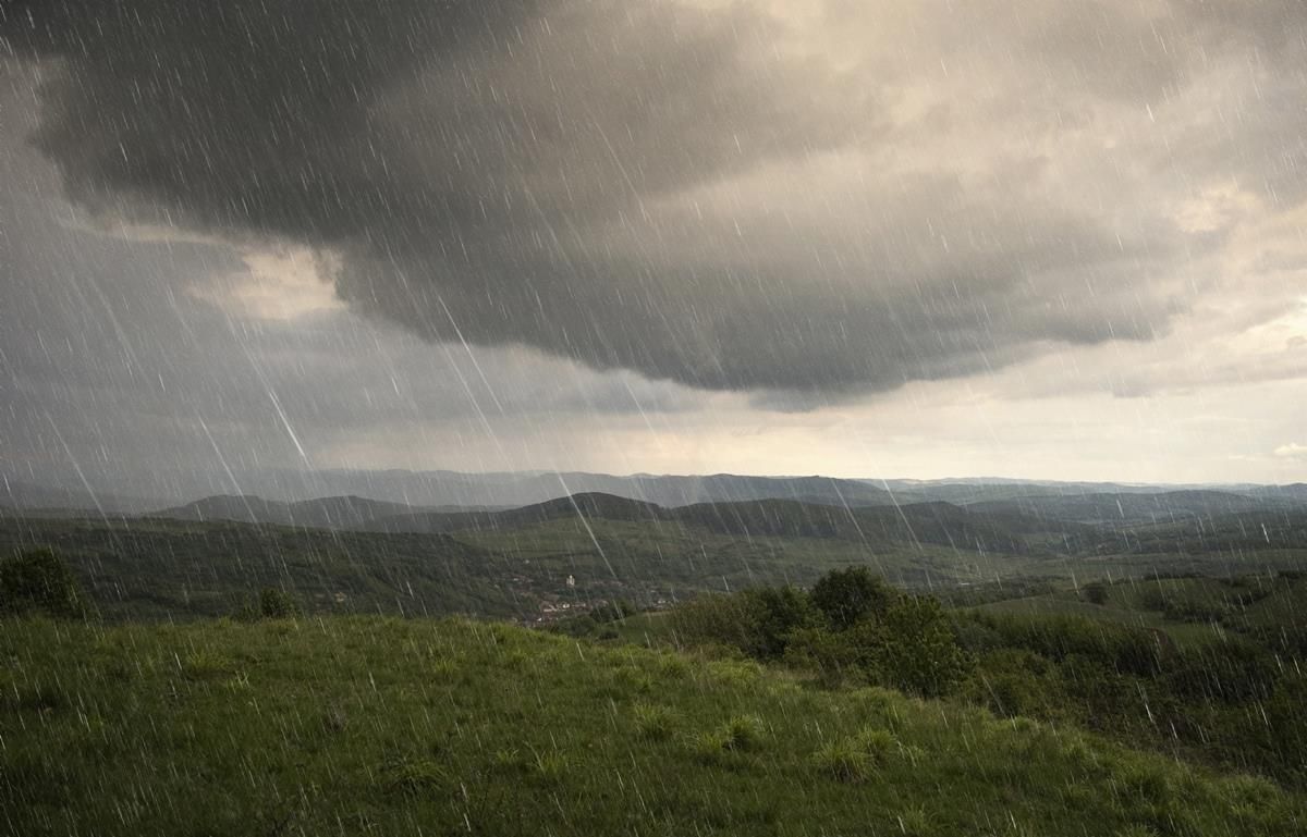
The weekend ahead will be unsettled, with widespread showers and some clear spells, while there is an improvement expected on Tuesday, Met Eireann has said.
Today, Friday, will be cool and breezy with showers quickly becoming widespread during the morning.
Many of the showers are forecast to be heavy, with a risk of thunder over the northern half of the country.
Highest temperatures are expected to range between 13 to 16 degrees today in moderate to fresh and gusty west to southwest winds.
Tonight will be cool and breezy again, with clear spells and scattered showers, most of the showers in Atlantic coastal counties. Temperatures tonight will be be between 8 to 11 Celsius, in a moderate to fresh westerly wind.
According to Met Eireann, rainfall totals for the past week were above average in most areas and well above average for parts of the midlands, east and southeast where over twice the average rainfall was recorded.
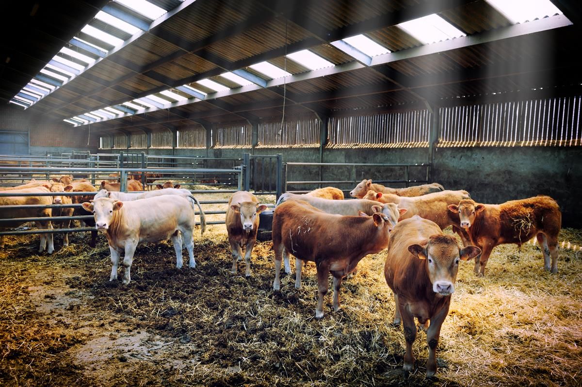
With rain and showers indicated for most days for the week ahead drying conditions will be moderate at best and Met Eireann has said that there will not be many opportunities for spraying over the next few days.
Saturday
Tomorrow Saturday will be cool, with a mix of sunny spells and scattered showers, some of the showers heavy.
The showers will be mainly heavy in parts of the north and east, but some areas will stay largely if not completely dry, especially some southern coastal areas.
Maximum temperatures will range between 15 to 18 degrees on Saturday, in moderate to fresh westerly winds.
Winds are forecast to fall light on Saturday night, with rain developing in south and southwest coastal areas, but dry elsewhere, apart from a few scattered showers.
Sunday
According to Met Eireann, there will be bright or sunny spells on Sunday, mainly in the north and northwest, but mostly cloudy, with some patchy rain and drizzle, especially in southern and southwestern coastal areas.
There will be some hill and coastal fog also, with maximum temperature of 15 to 19 Celsius, coolest along west and northwest coasts. Winds mostly light southwesterly or variable.
Rain and drizzle is forecast to become more widespread on Sunday night.
Outlook for next week
Current indications suggest that it will be bright across much of the northern half of the country, with sunny spells and just a few isolated showers.
It is forecast to be mostly cloudy in Munster and the southern half of Leinster, with outbreaks of rain and drizzle, possibly heavy for a time in some southern coastal areas, but clearing gradually southwards as the day progresses.
Maximum temperatures on Monday are forecast to range between 16 to 19 or 20 Celsius, in light variable winds.
For Tuesday and the rest of the week, it looks set to be mainly dry and quite warm, with light winds, but it will become unsettled again from midweek.