Unsettled weather on the way - though with some sunny spells

Met Éireann is predicting a good deal of unsettled weather ahead, with most areas seeing spells of rain and wind – though with some sunny patches breaking through.
It will be mostly cloudy today, Monday, June 29, with patchy rain and some drizzle and mist. The best dry and sunny periods are expected to occur in north Ulster and also across parts of south Munster this afternoon. Highest temperatures will be 14° to 17° in fresh and gusty westerly winds.
Long dry spells will develop overnight, but with scattered patches of rain and drizzle. More persistent rain will develop across parts of south Munster later in the night. Westerly winds will decrease light to moderate in strength. Minimum temperatures will be 9° to 12°.
On Tuesday night, scattered outbreaks of rain are expected, with some mist and drizzle. Minimum temperatures will be 10° to 13° with light, variable winds.
After a rather cloudy and damp start on Wednesday, July 1, it is expected to brighten up, with a mix of sunny spells and scattered showers. By evening there will be good spells of sunshine in most areas.
Maximum temperatures will be 16° to 19° on Wednesday, in light northwest or variable breezes. It will be largely dry overnight, with clear spells and just isolated showers. Minimum temperatures on Wednesday night will be 8° to 11° with light winds.
It looks set to be mostly dry on Thursday, July 2, with some sunny spells and just isolated showers. Highest temperatures will be 16° to 19° with moderate southwest breezes.
Current indications suggest that Friday, July 3, will be a cloudy and breezy day, with outbreaks of rain moving in from the Atlantic. Highest temperatures will be 15° to 18° in fresh southwest winds.
Early indications from Met Éireann suggest there will be a good deal of dry weather next weekend. Saturday, July 4, will bring a mix of sunny spells and well-scattered showers, whilst Sunday, July 5, looks set to be a dry day with spells of sunshine. Temperatures will be near or slightly below average figures for July.
Drying, spraying and field conditions
In its latest farming forecast, issued yesterday, Sunday, June 28, Met Éireann observes that, with light winds developing early this week and unsettled conditions, drying will be poor for much of the week. There are indications that there will be better opportunities next week.
For the same reasons, opportunities for spraying will also be limited.
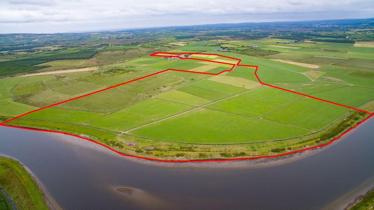
Soil moisture deficits remain as high as 20mm to 60mm in many parts of the country and for all soil types. The deficits in the southwest, northwest and north have improved somewhat, and in some parts of the southwest and west soils are saturated.
With higher than average rainfall expected in the week ahead, an improvement is expected, and in many parts of the northwest, north and north midlands the ground may become saturated or waterlogged.