Unsettled weather for the week with outbreaks of rain

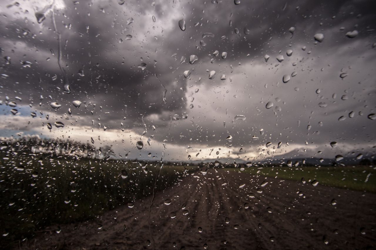
This week will bring generally unsettled weather, with outbreaks of rain early in the week but some drier spells developing towards the end of the week, Met Éireann has said.
Today (Monday, October 18) will begin damp and breezy with rain over Leinster and Ulster gradually clearing to the northeast.
Drier weather elsewhere will follow behind as the rain clears, with scattered patches of drizzle and mist lingering.
It will stay cloudy overall but some bright spells will develop this afternoon. There will be highest temperatures of 16° to 19°, in moderate to fresh southerly winds, strong at times on western coasts.
Tonight will be a mild night with lingering patches of drizzle and mist to start.
Outbreaks of rain will extend from the west and south overnight, spreading to most areas by morning and turning heavy at times.
Unsettled weather ahead
Tomorrow (Tuesday) will start wet and blustery with continued outbreaks of heavy rain.
The rain will gradually clear to the northeast through the morning, followed from the west by a mix of scattered showers and sunny spells for the afternoon and evening.
Highest temperatures will remain above average at 16° to 19° in moderate to fresh south to southwest winds.
There will be a dry start for many on Tuesday night with just well-scattered showers.
However, a spell of showery rain will spread from the south across Munster, Connacht and much of Leinster overnight, turning heavy at times.
On Wednesday, showery outbreaks of rain will continue to move northeastwards across the country in the morning before clearing to scattered showers and sunny spells in the afternoon.
However, another spell of rain will develop in the southwest later in the afternoon and evening. Temperatures will return to around normal with highest temperatures of 10° to 13° in moderate westerly winds.
Wednesday night will be dry in many areas to start apart from some patchy rain in the west and southwest.
A band of more persistent rain will move into the northwest early in the night, sinking southeastwards across the country and becoming patchier as the night goes on.
It will be a fresh and blustery day on Thursday with a mix of sunny spells and scattered showers, most frequent along northern and northwestern coasts. Highest temperatures of 9° to 12° in moderate to fresh and gusty northwest winds.
On Thursday night, many areas will stay dry with clear spells, though scattered light showers will continue in western and northern areas.
It will be a cloudier day on Friday but most areas will stay dry apart from a few well-scattered light showers. There will be highest temperatures of 9° to 12° in a moderate westerly breeze.
Drying, spraying and field conditions
Drying will be fairly poor over the next seven days due to the unsettled weather conditions with frequent spells of wet and windy weather.
There will be very limited opportunities for spraying over the next seven days. There may be some opportunities for a time today.
Across most of the country, soils are close to saturation and some poorly-drained soils are waterlogged. The exception are soils in central and southern Leinster which are dry to normal, with soil moisture deficits of 10mm to 30mm.
Over the coming week, all soils will see a decrease in their soil moisture deficits with many moderately and poorly drained soils becoming waterlogged.