Sun and scattered showers for bank holiday weekend

After a mixed start to the weekend over the coming two days, overall a good deal of dry weather is forecast for the rest of the bank holiday weekend - and the rest of the week, according to Met Éireann.
However, there will be some rain or some showers at times.
Starting with today (Friday, June 4), it will be dry in many areas with sunny spells in the eastern half of the country and just isolated showers, the national meteorological office says.
However, conditions will be cloudier in the western half of the country, with patchy and occasional outbreaks of rain and drizzle in the west and northwest, developing also into parts of west Munster.
Maximum temperatures 14° to 19° are expected, in mostly moderate southerly breezes, fresh on Atlantic coasts.
Tonight will see rain and drizzle become widespread, with patches of mist and fog. Minimum temperatures 8° to 11° are forecast in light southerly or variable breezes.
Tomorrow
Tomorrow will be mostly cloudy and misty at first, with scattered outbreaks of light rain and drizzle, Met Éireann says.
It will brighten up during the day, with some sunny spells developing, but scattered showers also, mainly in the eastern half of the country.
Some of the showers will turn heavy in the north later, with a slight risk of an isolated thunderstorm.
Maximum temperatures will hit 14° to 19° with mostly light southerly breezes early on, gradually veering westerly.
Tomorrow night will be mainly dry, with clear spells. In near calm conditions, mist and fog patches will develop. Minimum temperatures 5° to 9° are expected.
Sunday
Sunday will be mostly dry, with a mix of cloud and sunny spells, but a few isolated showers may occur in the east or southeast, the forecaster says.
Maximum temperatures will reach 15° to 19° in light southwesterly or variable breezes.
It will be dry overnight, with clear spells, but fog patches will develop in calm conditions and with the risk of some dense pockets. Minimum temperatures will hold at 6° to 9°.
Bank Holiday Monday
Turning to Monday, mist and fog will clear away quickly and most areas will be dry, with bright or sunny spells, Met Éireann says.
However, Atlantic coasts will be cloudier, with a chance of a few patches of light rain or drizzle.
Maximum temperatures are expected to peak at 16° to 20°, in mostly light southwesterly winds, fresh along west and northwest coasts.
It will become largely dry overnight, but rain and drizzle will become more widespread along west and northwest coasts. Minimum temperatures of 6° to 10° are forecast in mostly light southerly breezes.
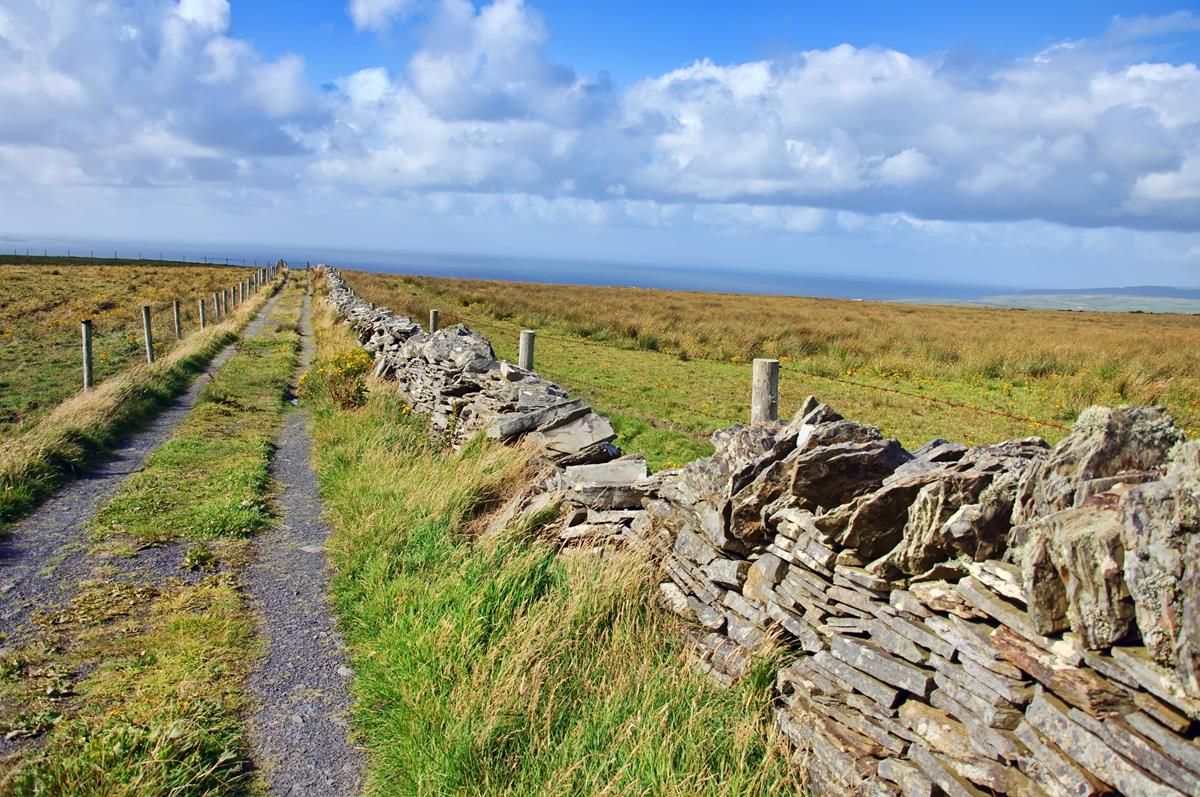
Farming and Field conditions
Drying conditions will be good away from Atlantic counties for Friday with moderate to fresh southwest winds and generally dry conditions in these areas. Atlantic counties will see moderate drying conditions generally.
Meanwhile there will be limited spraying opportunities over the coming days with moderate to fresh southwest breezes and rain at times. The best opportunity for spraying will be on Sunday, when winds will be light southerly and showers will be isolated.
Regarding field conditions, Met Éireann says all soils are currently trafficable with soil moisture deficits currently running at about 10mm in the west to 20-25 mm in the east.
Soil moisture deficits will increase to generally 20 to 30mm countrywide in the next seven days, the national meteorological office concludes.