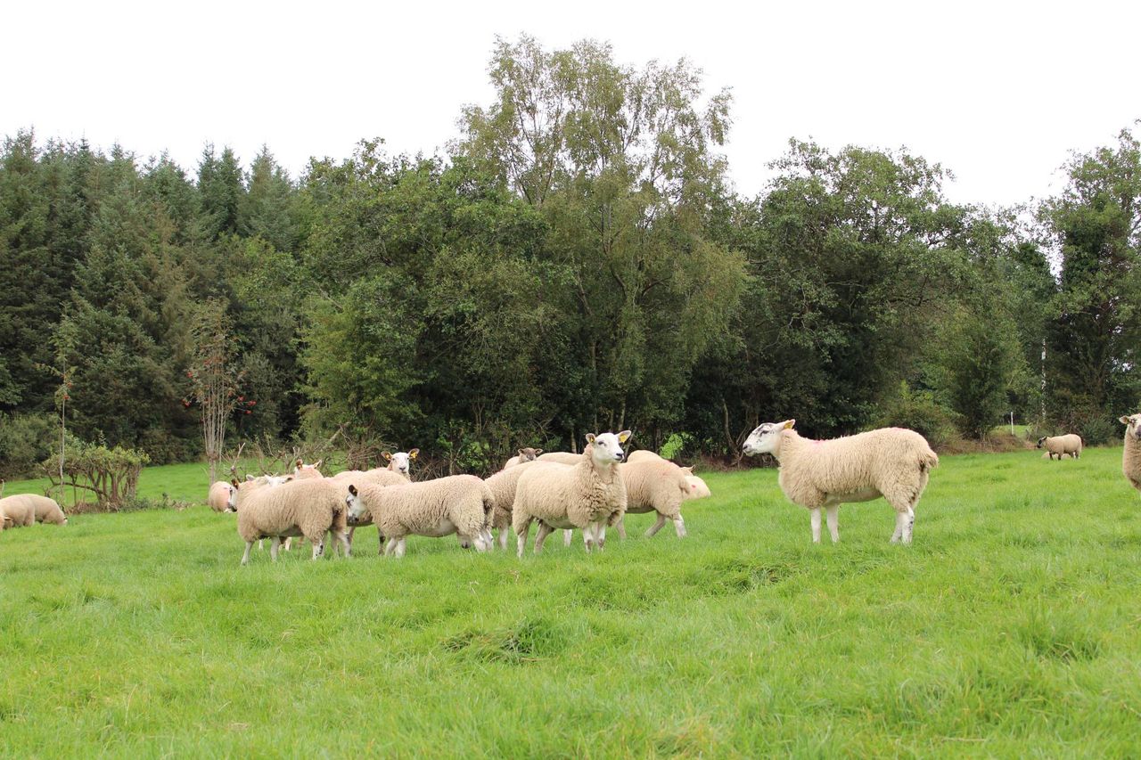
Status Yellow snow and ice warning issued for Donegal

A Status Yellow snow and ice warning has been issued for Co. Donegal today (Thursday, February 8).
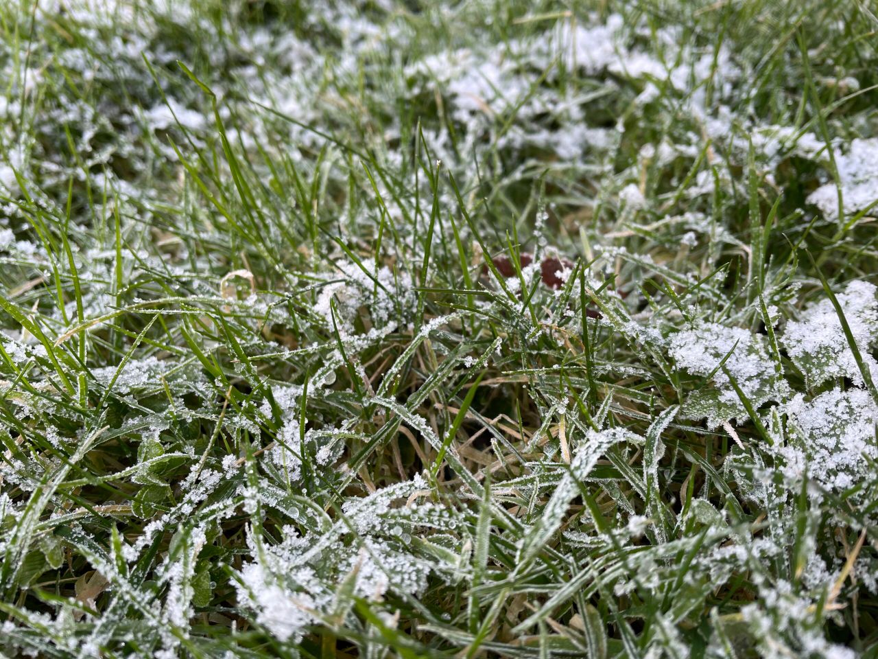
Met Éireann confirmed there will be sleet and snow leading to some accumulations in the county, most significant on higher ground.
The impacts of the warning may include:
- Hazardous travelling conditions;
- Poor visibility;
- Ice on untreated surfaces.
The Status Yellow warning is valid until 8:00p.m this evening.
There is a Yellow UK Met Office Weather Warning issued for Northern Ireland (NI), as a band of rain, sleet and snow will bring some travel disruption for parts of NI through Thursday and into Friday.
It was valid from 9:00a.m this morning to 6:00a.m tomorrow morning (Friday, February 8).
Farming forecast
Met Éireann recorded that rainfall amounts have varied in the past week, with generally below average amounts recorded in most areas with the exception of the far north and midwest having higher than average amounts.
Rainfall amounts ranged from 44% of average in Ballyhaise, Co. Cavan and up to 163% of average at Shannon Airport.
Rainfall amounts for the past week varied between 10.6mm in the southeast to 32.8mm in the southwest.
Precipitation amounts this coming week will range from a little below average in some parts of the east and midlands but in the south and west close to three times the average is expected.
Forecast amounts generally varying between 10mm and 80mm, highest amounts expected in the southwest.
Mean air temperatures over much of the past week have been above average, generally ranging from 1.5° to 3.4° above average.
This corresponds to 7.5° in the northwest and 9.7° in the southwest. Mean soil temperatures were also above average, ranging between 6.9° and 9.3°, which is generally 3° or 4° above average.
Mean air temperatures for the coming week are generally expected to be 1° to 2° above average. This corresponds to temperatures generally ranging between 5° and 9°.
Met Éireann noted it was duller than normal during the past seven days. Sunshine amounts ranged from just 6% of normal in Valentia, Co. Kerry where just 0.8 hours were recorded to 84% of average at Johnstown Castle, Co. Wexford where 13 hours of sunshine were recorded.
Sunshine amounts will vary this coming week, with some sunshine returning over the weekend, especially in eastern parts.
Further unsettled weather is expected early next week resulting in lower than average sunshine values.
Over the coming week, drying conditions will be generally be moderate or poor with rain or showers forecast for most days.
Spraying opportunities will generally be limited by precipitation and some breezy weather at times.
Met Éireann stated that all soils are currently saturated, with some moderately drained and poorly drained soils waterlogged in places.
With generally above average amounts of precipitation expected over the coming week, soil conditions will generally remain unchanged, though some further poorly drained soils may become waterlogged.