Snow, frost and subzero temperatures on the way this weekend

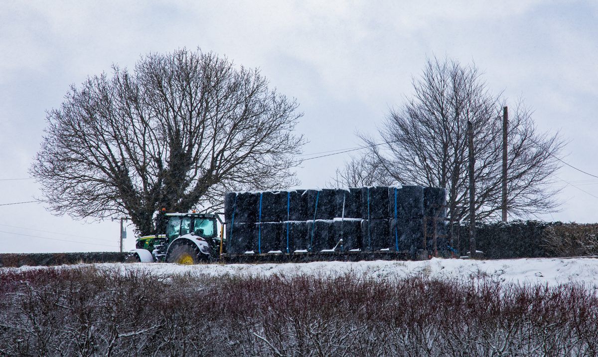
It will be cold and wintry over the weekend, but should become more settled early next week, with very cold nights on the cards, according to Met Éireann.
Today will see a cool, blustery and mostly cloudy start with widespread heavy showers over the north of the country.
It will be largely dry to begin further south and east with some bright or sunny spells. However, cloud will quickly increase from the south-west with outbreaks of rain arriving on the south-west coast by early afternoon.
This patchy rain will spread to much of Munster through the evening. Showers will become more frequent elsewhere, with some turning wintry later over high ground.
Temperatures will see highs of just 6° to 8°, with dipping temperatures a theme this weekend, while westerly winds will be strong and gusty, reaching gale force on coasts.
Minimum temperatures will generally range from 0° to 3°, with westerly winds again becoming strong with gales on coasts.
Tomorrow
A mixture of sunny spells and frequent showers is expected for tomorrow, with the showers again likely to be heavy at times and wintry on hills.
The best of the drier spells will be in Leinster early in the day. In the afternoon a more organised band of rain and sleet will move into southern parts.
It will be cold with highs of just 4° to 7° in fresh to strong and gusty southwesterly winds, reaching gale force on north and west coasts.
A widespread frost is anticipated with minimum temperatures of 1° to -3°, coldest in the north.
Winds will be mostly moderate southerly, but fresh to strong on the south coast.
Sunday
A frosty start with icy patches will lead to another day of widespread showers which will be wintry at times.
Showers will be most frequent in southern parts, according to Met Éireann. Maximum temperatures of just 2° to 3° are likely in the north, but should reach 5° to 6° further south.
Variable winds will be mostly moderate in strength, and fresh to strong on the south coast.
Scattered showers will become confined to coasts overnight, according to Met Éireann.