Showers likely alongside cool temperatures

Showers are set to be frequent enough this weekend, as temperatures remain cool, according to Met Eireann.
This morning, Friday, will start cloudy with outbreaks of rain – which will be heavy and persistent at times.
Drier and brighter weather is also forecast with sunshine, while showers will move into western regions by noon and extend eastwards through the course of the afternoon and evening.
Highest temperatures will range from 9º to 12º.
Tonight will start off mainly dry and clear, but later in the night a few showers may develop. It will turn cold with lowest temperatures of 2º to 5º, giving a touch of grass frost and a few fog patches.
Due to showers, conditions for both drying and spraying will be poor this weekend.
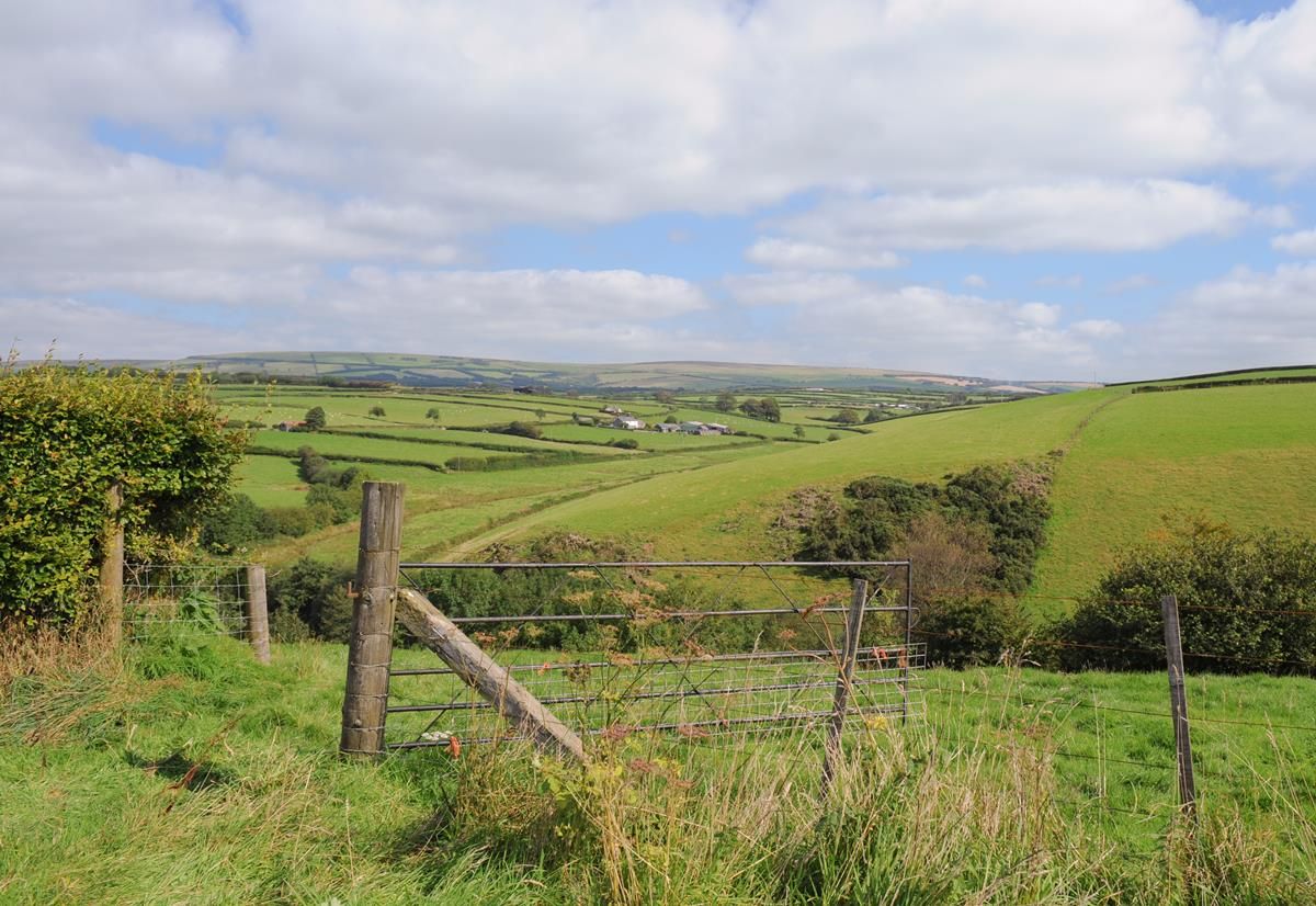
Meanwhile, most soils are trafficable now; but, poorly-drained and occasionally some moderately-drained soils will deteriorate again in the wetter episodes.
Tomorrow
Tomorrow, Saturday, will see a mix of sunny spells and showers; but most places will have a lot of dry weather.
It will become mainly dry on Saturday night, though showers may continue in western coastal areas. Lowest temperatures of 2º to 5º are likely and there will be a potential of grass frost and some shallow fog.
Outlook
Sunday is forecast to begin mainly dry and bright with some sunshine. However, showers will develop again in the afternoon and a few will be heavy, Met Eireann explained.
Temperatures will range from 12º to 14º in just light breezes. Showers are expected to die out early on Sunday night and another cold night will follow with some grass frost.
Early indications suggest that Monday is looking mainly dry at the moment; with a bit of sunshine and light winds, temperatures will rise to values between 14º and 18º.