Scattered showers and cool conditions this weekend


The coming weekend will be dominated by scattered showers and cool conditions, according to Met Éireann. However, heavy showers on Sunday will bring the risk of spot flooding, lightning and hail, the forecaster warns.
Cool and unsettled conditions look likely heading into early next week, but with tentative signs of settled weather from midweek.
Weekend
It will be cloudy today with showery outbreaks of rain, heavy at times, especially across Munster and Leinster, the national meteorological office says.
However, it will gradually brighten up from the north through the afternoon and evening, with drier conditions extending southwards.
Highest temperatures will reach 10° to 14° in mostly moderate or fresh north to northwest winds, with these stronger in some coastal parts.
Scattered showers will become isolated tonight and mainly confined to western and northern coasts. Long clear spells will develop - allowing temperatures to dip to between 1° to 5° in moderating northwest breezes.
Tomorrow
Tomorrow morning will get off to a dry and sunny start for much of the country with scattered showers mainly affected the west and northwest, Met Éireann says.
The showers will spread more countrywide through the day, interspersed with some sunny spells.
Another relatively cool day is in store, with highs of just 10° to 13° in mostly moderate westerly breezes, the forecaster notes.
Tomorrow night will be generally dry at first with cloud increasing from the west ahead of a band of rain which will move in off the Atlantic overnight.
Lows of 3° to 6° are expected with light westerly winds backing southerly and moderating overnight.
Sunday
Sunday will see a band of rain sweep in across the country during the morning, clearing into the Irish Sea into the afternoon, according to Met Éireann.
While it will brighten up, scattered heavy showers will follow bringing the risk of spot flooding, lightning and hail.
It will be a cool day with highs of only 10° to 13° with breezy conditions at first in fresh southerly winds, veering westerly and moderating.
Scattered showers will continue overnight with some clear spells.
Lowest temperatures will drop to 2° to 6° with light to moderate winds, Met Éireann notes.
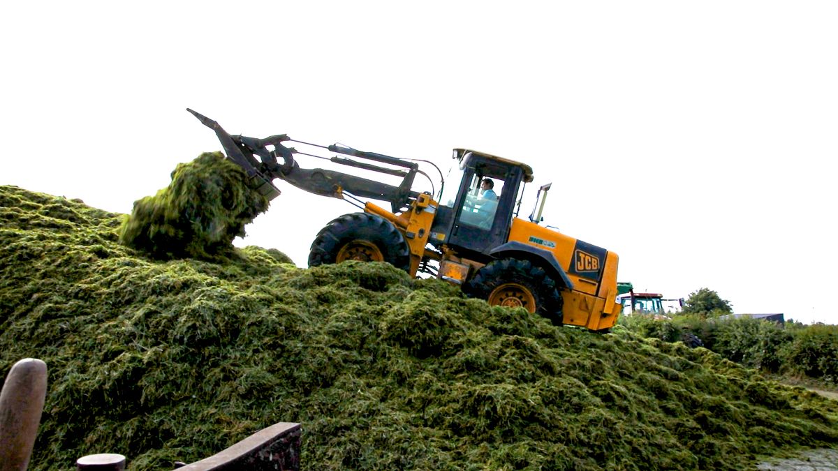
Farming and field conditions
Drying and spraying conditions will generally be quite limited over the coming week with showers or longer spells of rain expected on most days this weekend.
However, conditions will improve for a short period on Saturday before showers develop, which will be quite scattered. There is indication of drier weather developing again for Tuesday and Wednesday, Met Éireann says.
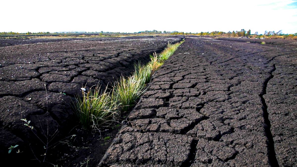
Regarding field conditions, soils are fairly dry in many areas with soil moisture deficits ranging between 5 to 25mm across most of the country, driest in the midlands.
Soils are closer to saturation towards the south and southwest where some soils in coastal areas here are saturated.
With a good deal of rain and showers expected throughout the next seven days, soils are expected to become saturated or reach near saturation levels nationwide, with poorly drained soils becoming waterlogged in many areas.
Field trafficability will worsen, Met Éireann concludes.