Sponsored
No respite from unsettled weather this week
Sponsored by
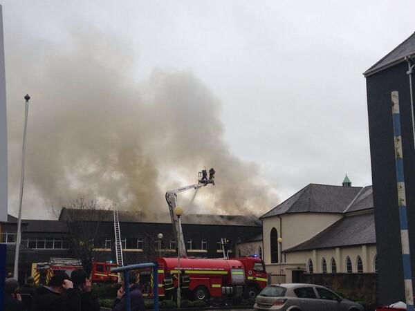
The coming week’s weather is set to be quite unsettled according to Met Eireann. It says it will be windy and showery particularly in the early part of the week. Cold periods are also forecast this week, with frost on some of the nights.
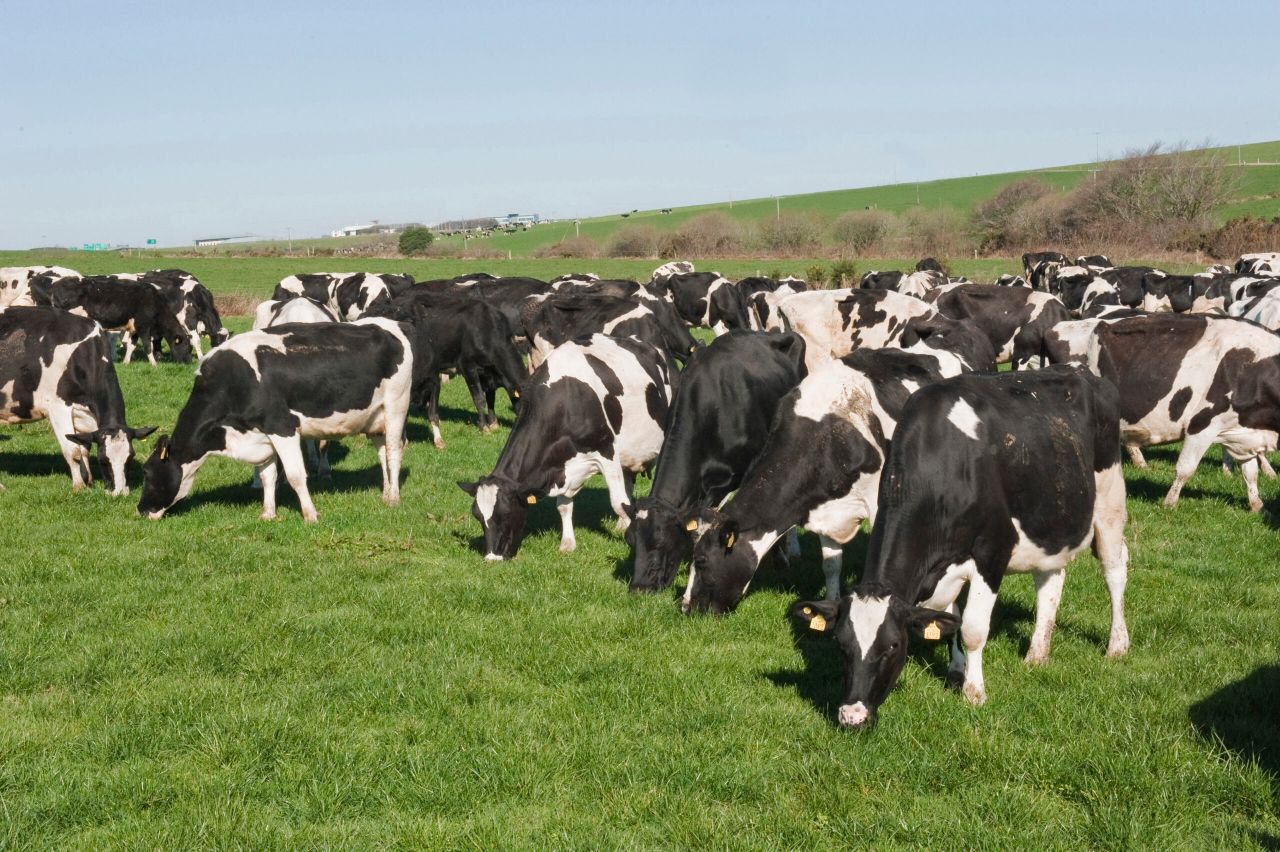
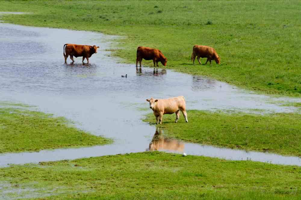
Last week saw rainfall above average in all areas. The west was worst affected at 150-210 per cent above average. The east of the country did not get away lightly either last week with rainfall 100-150 per cent above normal.
This all means that soils remain saturated and given the weather expected this week they are unlike to improve in the short term.
According to Met Eireann, today will be very windy and cold with heavy showers of rain and hail. Highest temperatures of 6 to 9 degrees are expected in strong to gale force westerly winds. The winds are set to ease tonight, however there will be further heavy showers. Lowest temperatures 2 to 5 degrees.
Met Eireann says the winds will continue to ease and there will be sunny spells but there will be further heavy showers also. Highest temperatures 5 to 8 degrees.
Tuesday night will be cold with lowest air temperatures ranging -2 to +2 degrees depending on cloud cover.
Forecasters say that a cold, breezy day is predicted for Wednesday with highest temperatures just 5 to 7 degrees. There will be some sunny intervals but overall a good deal of cloud with scattered showers of rain, hail or sleet. Wednesday night is set to be very cold with widespread frost. Lowest air temperatures zero to -4 degrees.
Met Eireann says it will continue cold on Thursday, however it will be a mainly dry day with sunny spells and light winds. Highest temperatures only 4 to 7 degrees. On Thursday evening and night outbreaks of rain are expected to extend eastwards from the Atlantic.
At this stage Met Eireann says a Friday will be a cloudy, windy day with a spell of heavy rain extending eastwards followed by clear spells and scattered showers. Highest temperatures 5 to 8 degrees.
Sponsored by