Rain and thunderstorm warning issued for the country

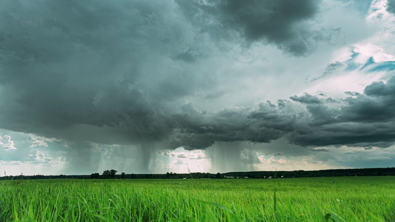
Met Éireann has issued a Status Yellow rain and thunderstorm warning for Ireland.
Widespread heavy showers or longer spells of rain are expected, with thunderstorms bringing some lightning and hail across the country.
The warning will be in effect from 12:00pm until 9:00pm today (Sunday, August 30).
Met Éireann said possible impacts include:
- Localised flooding;
- Outdoor events impacted;
- Difficult travelling conditions;
- Poor visibility;
- Lightning damage.
It will be breezy across the country tonight, with scattered showers becoming more isolated through the night and with clear spells developing.
Lowest temperatures of 10° to 14° are expected, with moderate to fresh and gusty west to north-west winds, which will be strong along the Atlantic coast.
Monday will start off dry for the most part with sunny spells and isolated showers.
Cloud will increase from the west throughout the morning, with outbreaks of rain and drizzle following in the afternoon.
Parts of the south-east will remain dry for much of the day, with occasional sunny spells.
It is expected to remain unsettled into next week, with showers or more persistent spells of rain forecast for each day, becoming breezy at times as well.
Soil moisture
Over the past week, rainfall in south and east Leinster and east Munster was above normal with rainfall volumes between 125% and 221% of the average, with some highly localised heavier rainfall in parts of Leinster and Munster.
Soils across the south and east remain very dry, leading to restriction to growth in places.
Soil moisture deficits are lower in the north and west.
With more unsettled weather in the coming week, soil moisture deficits will decrease across the country.
Soils in Connacht, west Ulster and west Munster will become saturated, with some poorly drained soils in the north-west becoming waterlogged.