Rain and thunderstorm warning for the country

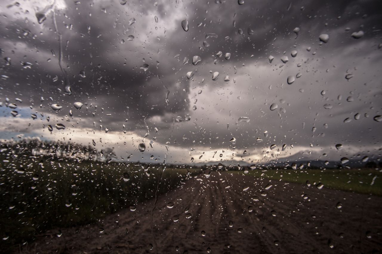
Met Éireann has issued a Status Yellow rain and thunderstorm warning for Ireland.
From 9:04a.m on Wednesday (September 8) until 12:00p.m on Thursday, scattered heavy downpours and thunderstorms are expected in some areas.
Localised flooding may occur where the rainfall is heaviest, the national forecaster has warned.
Weather after rain and thunderstorm warning
Later this week, it is expected to turn cooler and fresher.
On Thursday night, scattered showers will continue into the nighttime hours with some mist and fog setting in later.
Winds will be light and variable, though moderate to fresh northwesterly along Atlantic coasts.
Friday will be a day of sunny spells and scattered showers, some heavy across eastern counties later. Showers will become fewer overnight with long clear spells developing. The night will be cooler than those previous.
The weekend will begin fresher with a mix of sunny spells and well-scattered showers. Sunday is expected to be cloudy with scattered outbreaks of rain, with sunny spells developing into the afternoon.
Current indications suggest the early days of next week will bring a lot of calm and settled weather, though mist and fog may linger locally.
Advice for road users
Road users are advised to take extra caution when there are weather warnings in place.
The Road and Safety Authority (RSA) said that motorists must: