Mixed conditions ahead over weekend and early next week


Met Éireann is predicting largely mixed conditions ahead over the coming days, with dry spells being interrupted by spells of rain, particularly in the northwest.
We are seeing a wet and breezy start today (Friday, September 11) in the west and northwest – with some heavy falls of rain – but dry elsewhere. The rain will spread southeastwards through the day, becoming lighter and patchier as it does so.
Brighter conditions will follow from the northwest by the afternoon, with sunny spells and scattered showers. Highest temperatures will be 15° to 18°, in moderate to fresh westerly winds, strong at times along coasts.
Tomorrow (Saturday, September 12) will see a generally dry start over much of the country on Saturday, with sunny spells and occasional showers in the northwest. However, cloud will build from the west through the morning with persistent and occasionally heavy rain developing in the northwest by evening.
Further south it will remain dry with sunny spells. Highest temperatures tomorrow will be 15° to 18° in moderate to fresh southwest winds, increasing strong on western coasts late in the afternoon with gales developing along western and northwestern coasts by evening.
On Saturday night, rain in the northwest will continue on Saturday night, with further heavy bursts possible. Elsewhere, it will be mainly dry but cloudy. Lowest temperatures tomorrow night will be 11° to 14° in moderate to fresh southwest winds, or strong to near gale on Atlantic coasts.
It will brighten up in most parts on Sunday, with warm sunny spells developing across the bulk of the country, although a few areas of low cloud and mist may linger near some southern and western coasts.
Highest temperatures on Sunday will be 17° to 22° in moderate to fresh south to southwest winds.
Sunday night will be mostly dry, with isolated showers and clear spells, and lowest temperatures of 11° to 13° in a light southerly breeze.
Monday night is set to be cloudy with further rain, turning persistent and heavy at times over the western half of the country. Lowest temperatures will be 13° to 15° in a light east to southeast breeze.
Current indications for Tuesday to Thursday are that it will continue warm through the middle of next week with showers and further outbreaks of rain at times.
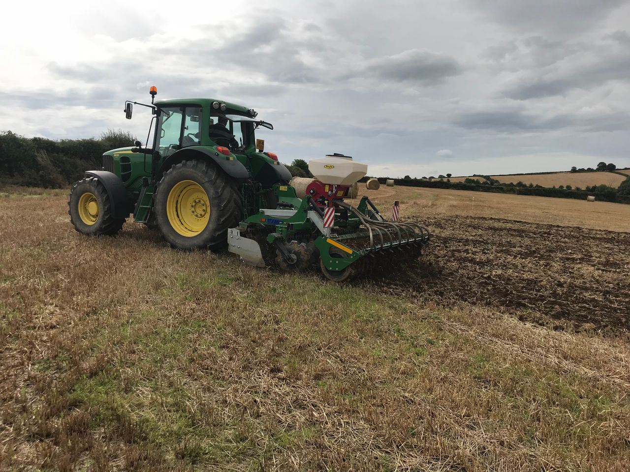
Drying, spraying and soil
Drying conditions are set to be generally poor today, though better in the southeast. Over the weekend conditions are set to be good in most areas apart from the northwest. However, conditions will deteriorate generally as the start of next week.
This holds true for spaying conditions, though moderate to fresh winds may limit opportunities over the weekend.
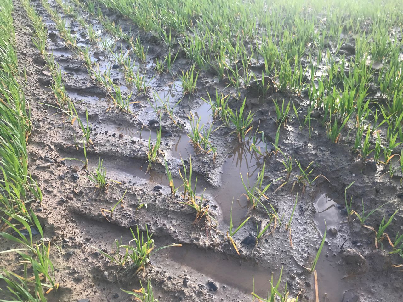
With less rainfall than normal expected over much of the country in the coming week, soil moisture deficits are expected to increase in most areas, with soils in the south and east expected to be particularly dry.
However, field conditions are expected to remain similar in the northwest due to rainfall expected there this weekend.