Met Éireann: Mostly dry this weekend with some scattered showers


Met Éireann said that the weekend will bring mostly dry and cloudy conditions with some scattered showers in places.
Today (Friday, August 22), will be mainly dry and cloudy, apart from some light showers, mainly in the west and north of the country. Highest temperatures of 17° to 22°C degrees in light westerly or variable breezes.
Cloudy and mainly dry tonight with some clear spells in the east. Isolated showers and light rain will move into the western seaboard, where hill and coastal mist and fog patches will form.
Lowest overnight temperatures of 11° to 16° in light variable or southerly winds.
Weekend
There will be a lot of dry weather on Saturday, but some little light patchy rain, drizzle and mist for a time, followed by a few scattered showers, mainly in the west and north. The best of any bright or sunny spells will be further east.
Highest temperatures of 18° to 23° in mostly light south to south-easterly or variable winds.
Saturday night will be mostly dry and cloudy, with some clear breaks too. There is a chance of a few isolated light showers. Lowest temperatures of 13° to 17° in light south-easterly breezes.
Mainly dry and cloudy on Sunday with some well scattered showers in places. Highest temperatures of 18° to 22° in mostly moderate south-easterly breezes.

Sunday night will be mainly dry. In the south-west and west there is a possibility of some isolated light showers, little drizzle and mist. Lowest temperatures of 13° to 17° in mostly moderate south-east breezes.
The current forecast shows that Monday will be dry with some sunny spells, some rain is expected in the south-west and west later in the day. Highest temperatures of 19° to 23° in moderate to fresh south-easterly winds.
The rain will push eastwards on Monday night, some heavy falls are possible. Lowest temperatures of 13° to 16° in moderate to fresh southerly winds.
On Tuesday, the rain will clear to leave a sunny day with scattered showers, some of which will be heavy with a chance of thunder. Highest temperatures of 17° to 21° in moderate to fresh and occasionally gusty south to south-west winds.
Met Éireann
While the coming days will be largely dry with occasional showers, Met Éireann said that current indications are that conditions will turn more unsettled from next Tuesday.
As a result, rainfall levels will increase nationwide, with close to or above average for most areas.
Air temperatures will decrease slightly in the week ahead but will still be around average to 2° above. Soil temperatures will remain above average.
Drying conditions will generally be good until Monday evening, though there will be occasional showers. Poor drying conditions are expected from Tuesday onwards.
There will be opportunities for spraying this weekend with long dry intervals and generally light to moderate winds. Spraying opportunities will be limited from Tuesday onwards.
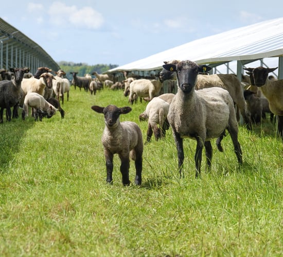
Currently, all soils are dry and trafficable with soil moisture deficits ranging from 12mm to 66mm. Soils are driest in the east and south with restriction to growth in these areas.
There will be little change to soil conditions in the coming week, but a marginal decrease is likely on Tuesday and Wednesday as the weather becomes more unsettled.