Met Éireann issues Status Yellow snow and ice warning for Co. Donegal

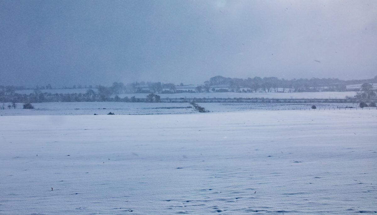
A Status Yellow warning for snow and ice has been issued by Met Éireann for Co. Donegal.
The warning came into effect at midnight last night (Wednesday, December 2) and will remain in effect until midnight tonight.
Heavy wintry showers of hail, sleet and snow are expected in Co. Donegal today with reduced visibility and accumulations likely in places.
Meanwhile, there is also a weather advisory in place for the rest of the country.
That advisory came into effect at 4:00pm yesterday (Wednesday) and will remain in effect until midnight on Friday (December 4).
Today’s weather forecast
It will be a bitterly cold day with widespread heavy showers early on, some of which will be wintry, along with isolated thunderstorms.
Showers will gradually become confined to counties along the western seaboard, with spells of winter sunshine developing elsewhere.
Highest temperatures of just 2° to 5°, coldest over Ulster, with light to moderate west to northwest breezes.
Tonight’s weather
It will be very cold tonight with a widespread sharp to severe frost and possible icy stretches.
Overall, it will be dry with long clear spells. However, a few wintry showers will persist closer to the Atlantic, along with isolated thunderstorms.
Lowest overnight temperatures of 0 to -3°, in light to moderate northwest breezes.
Tomorrow’s weather
There will be widespread frost to begin on Friday with some icy stretches on untreated surfaces.
Many areas will stay dry for the day with spells of winter sunshine. However, northwest winds will be brisk, with an added wind chill factor.
A few coastal showers will persist too, mainly in the north and northwest with isolated hail and thunderstorms. Highest temperatures of just 4° to 7°.