Met Éireann issues rain warning for entire country tomorrow

National weather forecaster, Met Éireann has issued a Status Yellow rain warning for Ireland which will come into effect early tomorrow (Monday, November 21).
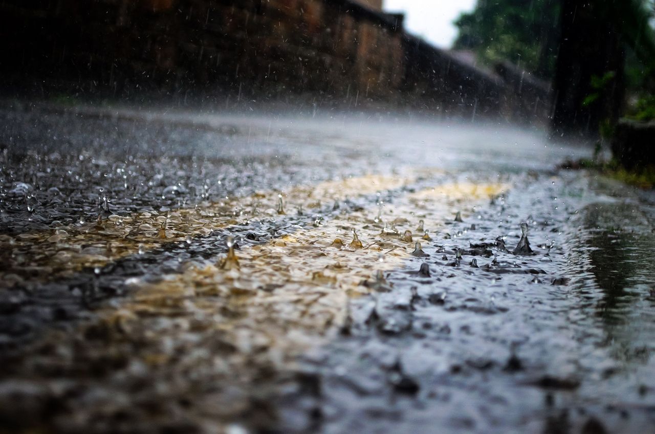
Heavy or thundery pulses of rain are expected tonight (Sunday, November 20), and on Monday, which the forecaster has said will lead to flooding in places.
The nationwide Status Yellow rain warning will come into effect from 03:00a.m tomorrow and will remain in place until 8:00p.m.
A Status Orange rain warning for Co. Waterford, Wexford and Wicklow has also been issued. Some very intense falls of rain are possible with some flooding in places between 07:00a.m and 12:00p.m tomorrow.
Sunny spells and scattered blustery showers are continuing this afternoon, some of which will be heavy and thundery with hail, according to the national forecaster.
Moderate to fresh westerly winds will ease by the evening at highest temperatures of 7° to 11°. Tonight will begin mostly dry and clear.
A touch of grass frost is possible in Ulster as temperatures dip to between 0° and 5°, Met Éireann has said.
Wet and breezy weather will push up from the southwest overnight. Heavy or thundery rain is expected especially in the southeast, along with fresh to strong and gusty southeasterly winds tomorrow morning.
Outbreaks of rain will continue across most places into the afternoon with further flooding expected, the national forecaster has warned.
While a gradual clearance will develop in the southwest and west, heavy showers will follow the rain, with highest temperatures of 7° to 11°.
Met Éireann has said winds will slowly ease through the day before veering westerly and again increasing fresh to strong and gusty over Munster.