Low rainfall levels regionally to continue to slow grass growth

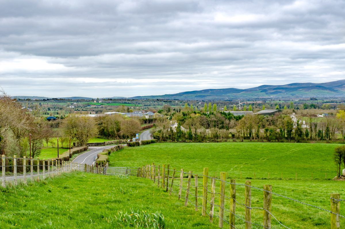
The likelihood of low rainfall levels in the east and south-east is set to continue to hamper grass growth over the weekend, according to Met Eireann.
Soil moisture deficits are between 40mm and 70mm, it added.
A return to more typical westerly-dominated weather with occasional rain will bring a slow and steady reduction in deficits in the coming days, especially in western counties, the Irish meteorological office explained.
But it did warn that rainfall amounts will likely be low in the east and south-east, leading to “a continued restriction to grass growth and poor trafficability in these areas”.
Today, Friday, is set to be mostly dry and bright in the east and south at first, with some sunshine.
Temperatures are forecast to range from 13º in the north-west to 17º in the south-east, while moderate south-west breezes will increase fresh to strong along Atlantic coasts by evening time.
There is a danger of rain becoming more persistent along the Atlantic seaboard later this evening and early tonight, with temperatures dropping to as low as 8º overnight.
Accompanied by a slight risk of thunder, the rain – which is set to be heavy locally – will extend eastwards overnight. It is expected that this rain will be followed by clear spells and scattered showers from the west before dawn.
Tomorrow
Early rain in the east tomorrow, Saturday, will give way to sunny spells and scattered showers from the west, according to Met Eireann.
Some of the showers will be heavy, especially about Ulster, it added.
Top temperatures are expected to range between 14º in the north-west to 19º in parts of the east and south-east, as blustery westerly winds turn gradually moderate through the day.
Cloud is likely to increase tomorrow night, with patchy rain and drizzle spreading from the Atlantic. Overnight temperatures will be similar to the previous night.
Sunday
Sunday is forecast to be cloudy with patchy outbreaks of light rain and drizzle. Conditions are set to become drier by the evening time, with some late brightness developing for southern areas.
On Sunday night, most places will be dry with a mix of cloud and clear spells.
Outlook
Early indications for Monday suggest that many eastern areas will start off dry, with the best of the sunshine in parts of east Munster and south Leinster.
Cloudy, humid conditions with patchy outbreaks of rain and drizzle are set to affect Atlantic coastal counties. These conditions could spread over much of the country during the afternoon, Met Eireann warned.