How the Department decides which farms to inspect
The Department of Agriculture recently published the Farmers Charter which details how the Department decides which farmers should be inspected.
The Charter details the two methods by which cases may be selected for inspection by the Department, i.e. randomly and by risk.
The Regulations require that between 20% and 25% of cases are selected randomly from the entire population and the remaining cases are selected by risk.
As provided for under the EU Regulations, it is for the member state to determine the risk criteria to be used in any one year.
As part of the review process each year, prior to initiating an inspection campaign, the member state must conduct an analysis of the previous year’s findings.
Risks which are not found to lead to significant breaches are omitted for the following year thus changing the risk criteria used each year. Issues causing breaches are published from time to time and these highlight to farmers the particular areas of risk which may apply on their farms.
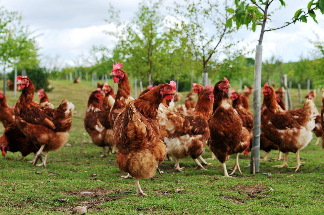
According to the Department of Agriculture there is no emphasis on any land type as eligible land maintained in a state suitable for grazing or cultivation is a core requirement for many schemes including crop diversity on arable land under greening or the ANC scheme land requirements on non arable land.
In a similar manner there is no emphasis on any particular enterprise, according to the Department.
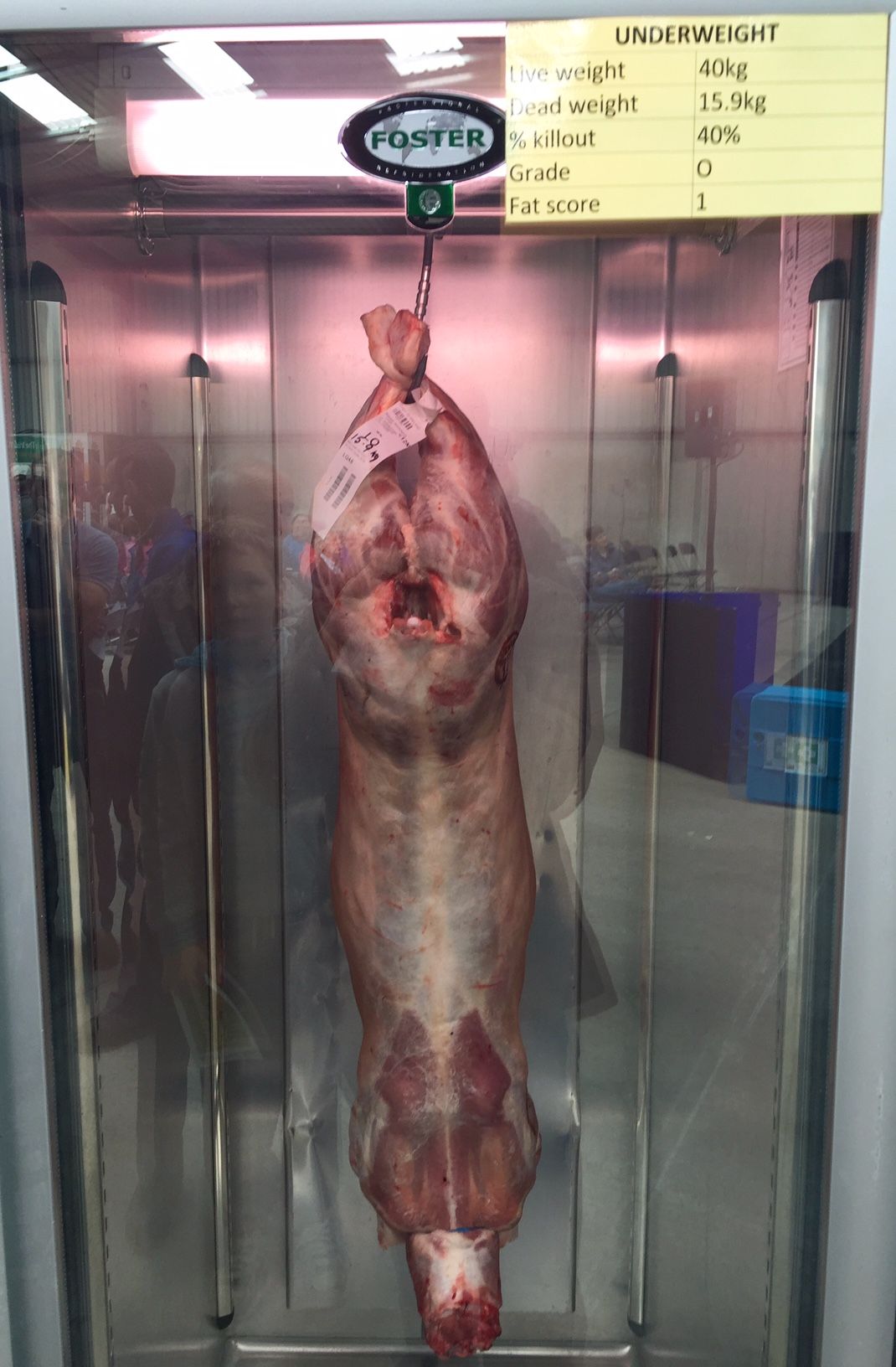
Farms with multiple enterprises such as bovines or cereals may be inspected for more than one scheme in any one year necessitating additional requirements to be complied with.
The scale of the payment is not a determining factor or is the size of the farm.
Cases which have cleared a previous inspection will have a lower probability of inspection but this does not guaranteed that they will not be inspected in any particular year.
The effectiveness of the risks used must be monitored each year and adjusted as necessary to ensure that the risk factors used are ‘relevant’ and ‘effective’, it says.
Common types of non-compliance are to published on the Department’s website annually.
Remote sensing is also used and is a technique where recent images captured by satellites are used to confirm the area and ground cover of land parcels thereby avoiding the need for a ground inspection.