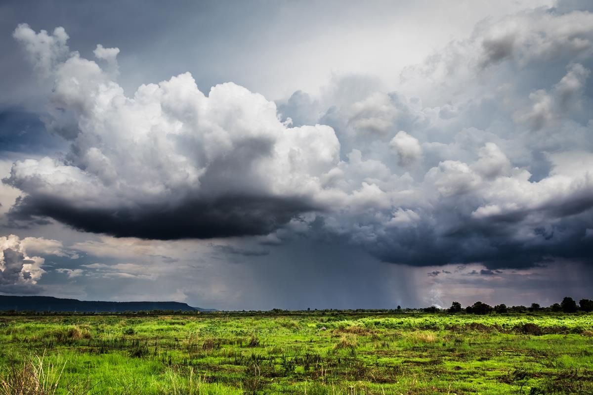
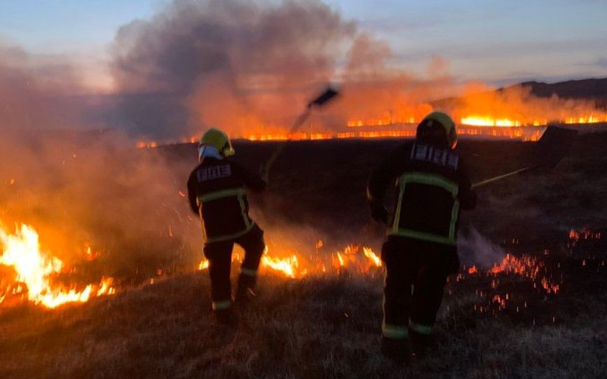
Fires in rural areas detected by satellites

Satellite data has shown evidence of increased levels of nitrogen dioxide over some rural areas in February and March, resulting from fires.
The data was analysed by scientists from the Irish Centre for High-End Computing (ICHEC), and came from the European Space Agency’s (ESA) Sentinel 5-P satellite.
The ICHEC said today, Friday, April 3, that scientists observed general reductions in emissions from the lower levels of activity in the economy due to COVID-19 – but also observed a few spikes on some dates, most likely associated with fires in rural areas.
“However, there were some spikes in nitrogen dioxide (NO2) emissions visible from the Cork and Kerry mountains on the March 21, the Wicklow mountains on March 19 and March 30, and the Comeragh Mountains on March 21,” McKinstry explained.
He added: “As nitrogen dioxide is a gas created from the burning of fossil fuels, it looks like these [increases] are related to fires.”
This morning, Minister for Agriculture, Food and the Marine Michael Creed repeated his warning against illegal burning.
Although most on-farm visits are currently suspended due to the Covid-19 crisis, my department is continuing to carefully monitor satellite imagery in order to identify any parcels of land that are burnt illegally.
“Follow-up ground inspections will take place where necessary. It would be an act of gross disregard for your community if you set illegal fires that could stretch the resources of our emergency services,” the minister added.
The period for burning came to an end on March 1. The close period remains in effect until August 31.