DON'T PANIC, but a snowflake may fall in Donegal today!!
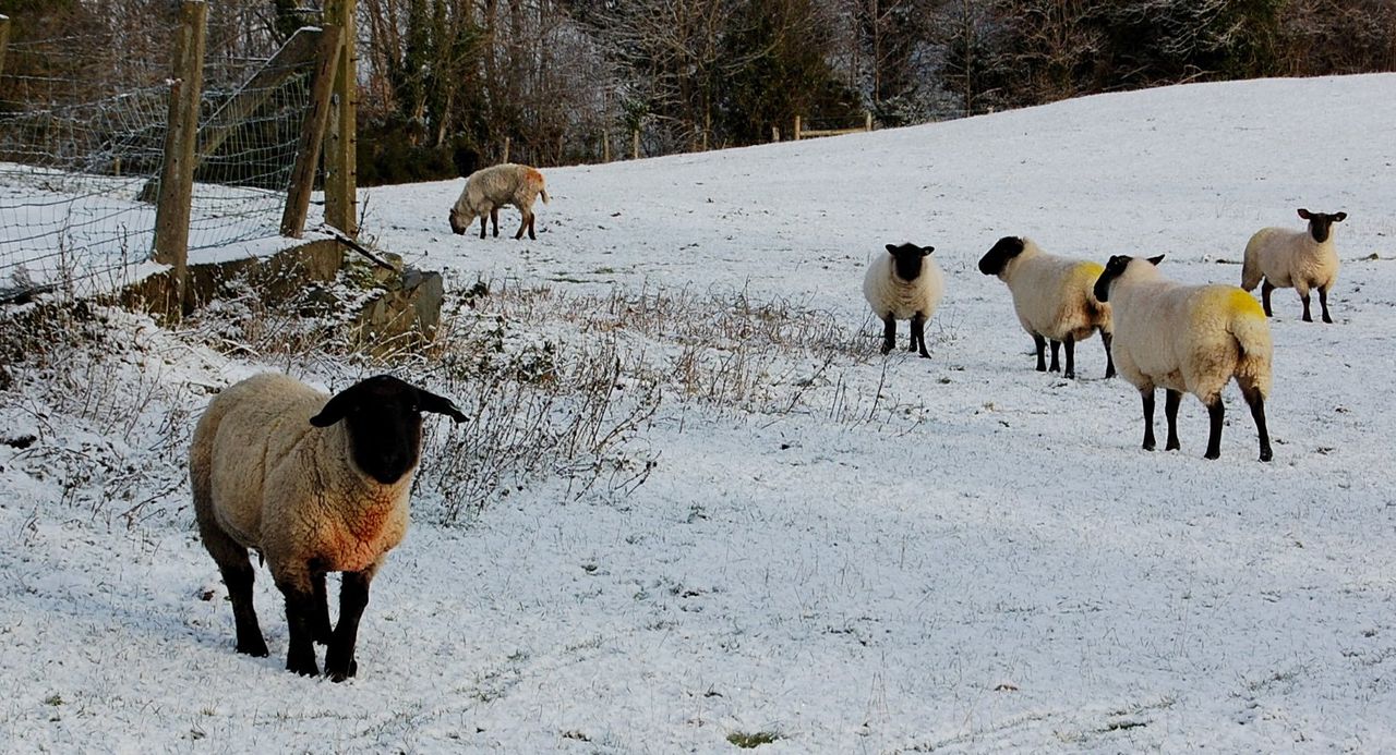
It’s set to get increasingly colder this weekend and some showers could turn wintry with a chance of snowflake or two possible on high ground in Northern areas.
According to Met Eireann, it will be cold and bright today with frost and icy stretches gradually clearing during the morning.
There will be good sunshine during the day, mostly sunny and dry in fact across the eastern half of the country. However, Met Eireann says there will be some showers of rain or hail too though, mainly for Atlantic counties, most of which will affect Ulster possibly turning wintry on higher ground here.
On Saturday, frost is set to clear early with increasing cloud and freshening southwest winds.
Met Eireann says that while many areas will be dry, there will be some showers too, with more general rain feeding into the west and northwest counties later on in the evening. Saturday is set to be milder day with highest temperatures 8 to 10 degrees Celsius (values at their highest closer to the Atlantic).
The weather is set to be unsettled into next week with wet and windy weather at times. It forecast to be cold most days too with some wintry showers and further frosts, according to Met Eireann’s latest outlook.
It says Sunday will be bitterly cold and rather blustery. Good spells of sunshine but scattered showers too mainly affecting the western half of the country.
Some of the showers will be wintry in nature, with snow on western and northern hills and possibly some sleet on lower levels here. A flurry or two is possibly on higher ground further east. Highest temperatures just 3 to 6 degrees Celsius, in a fairly fresh westerly breeze.