Cool and frosty weather ahead, with the danger of heavy showers

This week is set to be cool and frosty, while there will also be a danger of heavy showers at times, according to Met Eireann.
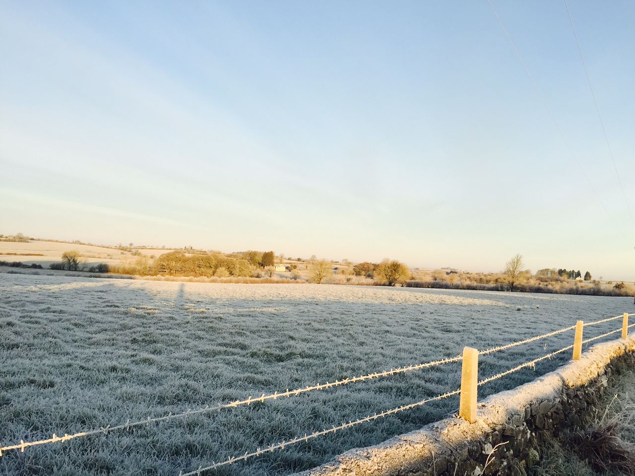
This morning, Monday, is forecast to be cold and frosty to begin with; frost may linger in parts of the north-west and midlands.
A mostly dry day is expected to follow, with sunny spells for a time. But, cloud will gradually thicken from the south, with patchy drizzle developing near the south coast.
Light easterly winds will increase moderate southeasterly during the day, becoming fresh to strong along Atlantic coasts. It is set to be cold with afternoon highs of only 2º to 5º, but values of 6º or 7º will be likely along the south and south-west coast.
Both drying and spraying conditions will be poor or moderate over the coming days due to the cold and unsettled conditions. As well as this, soils are at field capacity countrywide and waterlogged in poorly-drained soils – with little change expected over the coming week.
Tomorrow
Tomorrow, Tuesday, is expected to be cloudy and windy – as a spell of heavy and persistent rain in the west spreads further eastwards during the afternoon and evening.
Top temperatures will range from 5º to 9º in fresh and gusty southeasterly winds, which will ease later.
The forecast suggests that heavy and persistent rain will linger in the east and north for a time tomorrow night, before clearing northeastwards with some clear spells developing; but, showery rain may affect the west and south.
Lowest temperatures will fall to between -2º and 2º, with some frost and mist and fog patches forming as winds ease with the clearance, Met Eireann added.
Wednesday
Scattered showers will be likely on Wednesday with some sunny spells. The showers could merge into longer spells of rain in the south-west and west.
Top temperatures will be around 5º to 7º, in just light variable breezes. Showers may become isolated on Wednesday evening and early that night; these will also die out later, with good clear spells developing.
Winds will remain light and it will turn colder again, with lowest temperatures falling to between -3º and 1º; a widespread sharp to severe frost is expected that night.
Outlook
Thursday is forecast to be a dry day with good sunny spells. Frost will gradually clear in the morning and it will be cold, with afternoon temperatures of just 2º to 6º in light variable breezes.
But, winds will freshen and cloud will increase on Thursday night, as a spell of rain approaches from the west, according to Met Eireann.
Early indications suggest that rain will become persistent and heavy in the west and gradually extend eastwards on Friday. It will become milder with temperatures reaching 6º to 10º, in fresh and blustery southeasterly winds.