Changeable conditions expected...with varying levels of rainfall


Cool and changeable conditions are expected through the coming week but the weather will turn milder towards the weekend, according to Met Éireann.
Conditions will be bright with sunny spells in eastern and southern parts this morning. It will be cloudier elsewhere but things should brighten up through the day with good spells of sunshine for most areas.
A generally dry day is in store but a few showers may develop in the north-east, according to the national meteorological office.
Tonight will be dry with clear spells at first, though cloud will thicken from the Atlantic later in the night. Lowest temperatures of 4° to 8° are on the cards in light variable breezes.
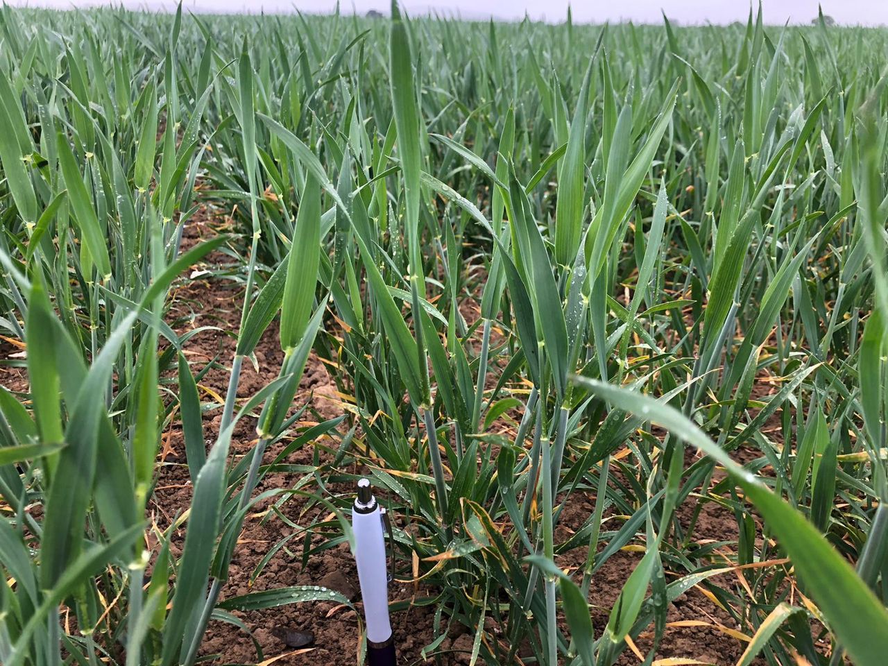
Field conditions
With just a little more precipitation over recent days, weekly rainfall averages remain well below what would be expected for this time of year. Generally, rainfall averages were between 4% in the south and 62% of the normal in the north-west. It was driest in the south where both Cork Airport and Roches Point recorded less than 1mm over the past week.
However, the rest of the country is forecast to receive just between 22% in the south-west to 60% of average rainfall in the north.
Spraying opportunities look good today and tomorrow, but Wednesday currently looks inadvisable with limited chances through the rest of the week.
Regarding field conditions, soil moisture deficits generally range between 45mm and 80mm with significant restrictions in growth.
There is, however, some uncertainty about the extent of the rainfall on Wednesday night and towards the end of the week where showery rain may provide some slight temporary relief locally, the meteorological office says.
Tomorrow
Tomorrow will be dry at first, but will become increasingly cloudy through the afternoon. Patchy rain and drizzle affecting western and northern areas in the morning will turn persistent at times through the afternoon.
The rain will slowly push eastwards by the evening but will tend to break up, with parts of the east and south holding dry for the day. Highest temperatures of 12° to 17° are expected in light westerly breezes.
Tomorrow night will be mostly cloudy with outbreaks of rain at times and overnight lows of 9° to 11° in many areas. However, temperatures could drop to 7° or 8° in northern counties towards morning as skies clear and a north-west breeze sets in.
Outlook
Wednesday will be rather cloudy and cool with north-west to northerly breezes. Some patchy rain is expected in places on Wednesday morning but it should brighten up with some sunny breaks developing.
However, Met Éireann warns that there will be heavy and possibly thundery showers also especially in northern and eastern counties later in the day. Afternoon highs of 13° to 17° are expected.
Afternoon temperatures will range from 15° to 18°, Met Éireann concludes.