Bright spells in week ahead but 'wetter than average conditions' - Met Éireann

The weather is likely to be dry and bright at the start of the week but will turn more unsettled with 'wet and blustery conditions', Met Éireann has warned.
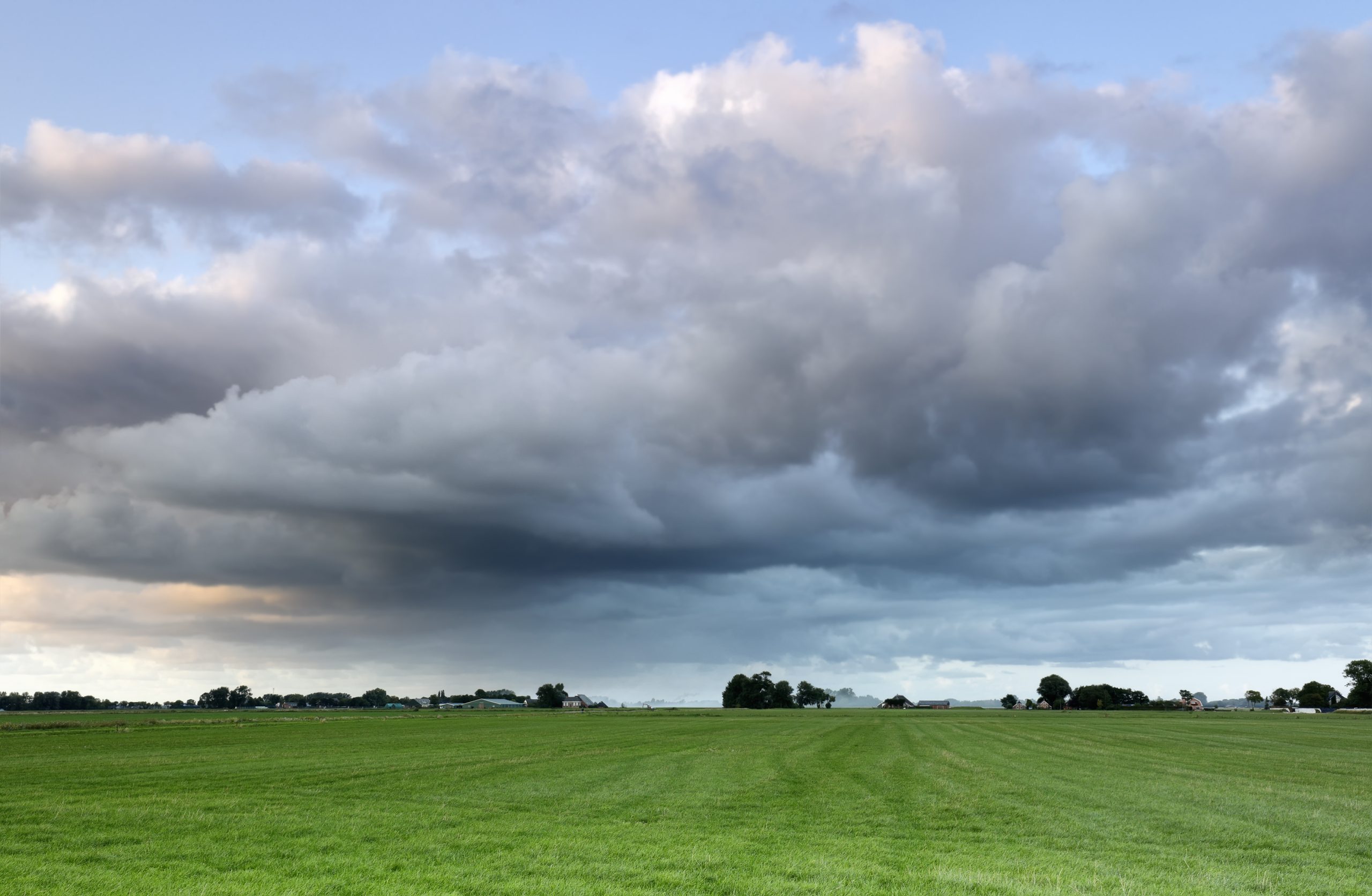
In many parts of the country it will start off mainly dry this morning (Monday, October 27) however there will be cloudy with patchy rain or drizzle in the west and southwest along with a few showers in Ulster.
"The cloud and rain will spread eastwards across the rest of the country during the afternoon, and begin to clear from the southwest this evening," the national meteorological service said.
It has also highlighted that "moderate to fresh westerly winds" will increase in Connacht and Munster through the afternoon.
By nightfall there will likely be patchy rain and drizzle showers in many parts with the "most frequent in the northwest" while lowest temperatures will be between 7° to 1°.
Met Éireann
According to Met Éireann there is plenty of dry weather expected for much of tomorrow (Tuesday, October 28) and then also Wednesday.
But it has also warned that conditions will likely turn more unsettled later in the week with heavy rain likely at times.
"Overall, wetter than average conditions are expected nationwide with 1.5 to 4 times the average rainfall with 50 to 80mm likely generally, higher locally," it added.

It is advising farmers that because of the expected spells of rain and showers and cool conditions, "drying conditions will generally be poor".
"The best of any opportunities will be on Tuesday and Wednesday, especially in the south and east away from showers," Met Éireann said.
It is a similar outlook for spraying opportunities which it said "will also be limited by spells of rain and showers as well as often moderate to fresh winds".
"The best conditions will likely be later on Wednesday as winds will ease for a time," it added.
Week ahead
Tomorrow will be "dry and bright" for most parts of the country with sunny spells and scattered showers, mainly in the west and north.
However showers will become more frequent and highest temperatures will average 10° to 13°.
As the night draws in, it will turn cloudy nationwide with outbreaks of rain "extending to the southern half of the country by morning" and temperatures could fall to between 3° to 7°.
Wednesday
According to Met Éireann while there may be showers in the northwest at first on Wednesday morning these will clear to "leave a dry and bright day for most with just the odd light shower and plenty of sunny spells".
Highest temperatures could reach between 10° to 13°.
But as night falls it will turn cloudy nationwide with outbreaks of rain extending to the southern half of the country and temperatures will fall to around 3° to 7°.
Thursday
It will most be "a wet and blustery day with widespread outbreaks of rain turning heavy in places" on Thursday according to Met Éireann's current forecast.
"Highest temperatures of 11° to 14° with fresh to strong and gusty southeasterly winds," are likely during the day.
Friday
Weather conditions currently for Friday are uncertain but it is most likely to be another wet and blustery day with highest temperatures of 11° to 15°, according to the national meteorological service
Looking ahead to the weekend there is little sign that the unsettled weather is going to improve as "further wet and blustery conditions" are likely to be on the horizon.
.