Wet and windy weekend in store with risk of hail and thunder today

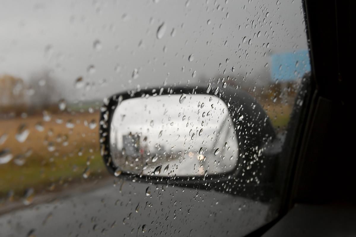
It will be a wet and windy weekend for the most part, with a risk of hail and possible thunderstorms today, according to Met Éireann.
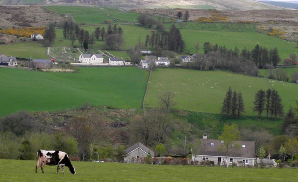
It will continue to be cool and breezy with blustery showers as the weekend progresses but it is expected to become more settled next week with drier and milder spring like conditions forecast.
There will be sunny spells and heavy blustery showers this morning with the risk of hail or sleet and isolated thunderstorms.
Highest temperatures of 6° to 9° are forecast, in fresh to strong and gusty southwesterly winds.
Tonight will see bands of rain quickly clear to showers with a continued risk of hail or sleet and isolated thunderstorms. These will be most frequent in the west, with the best of any clear spells in the east.
It will be cold with lowest temperatures of 0° to 3°, the forecaster says. Fresh to strong southwest west to west winds will occasionally touch near gale in the southwest early in the night.
Tomorrow
There will be sunny spells and blustery showers tomorrow, again with the risk of hail and isolated thunderstorms, Met Éireann says.
The showers will be most frequent and heaviest in the west and northwest. Highest temperatures will hold to 5° to 9° in fresh to strong and gusty west to northwest winds.
It will be mainly dry elsewhere with variable cloud and clear spells, and just the odd light shower. More prolonged rain will approach the northwest by morning. Lowest temperatures of 2° to 5° are forecast in mostly moderate westerly winds.
Sunday
A mostly cloudy day is anticipated with rain and drizzle extending from the northwest, to all areas during the day; these will turn heavy at times in the northwest.
Highest temperatures of 8° to 12° are expected in moderate to fresh westerly winds.
It will be milder than recent nights with lowest temperatures of 6° to 9° in moderate westerly winds, Met Éireann says.