Weekend weather: Unsettled blustery conditions to continue

The weekend weather forecast from Met Éireann indicates that the unsettled conditions are set to continue with further spells of rain and showers and it will be breezy or blustery at times too.
Starting with today (Friday, November 4) it will be mainly dry with sunny spells this morning and afternoon with isolated showers, mainly over Ulster.
In the evening, cloud will increase from the west with outbreaks of rain and drizzle following in to the southwest.
Highest temperatures will be from 10°-13°C in light to moderate west to southwest breezes, backing southerly in the evening and freshening on Atlantic coasts.
Tonight, rain in the southwest will extend across the country with some heavy falls in places. Lowest temperatures will range from 5° to 10°, coldest over the eastern half of the country before the rain arrives.
Southerly winds will increase moderate to fresh and gusty, and will be strong on exposed coasts.
Weekend weather forecast
Looking ahead at the weekend weather, it will be a wet and cloudy start tomorrow Saturday morning. The rain will clear eastwards before lunchtime and will be followed by good sunny spells and scattered showers from the west.
Towards the evening, the showers will become heavier with the chance of thunderstorms. Highest temperatures will range from 11° to 14° and it will be breezy with moderate to fresh and gusty southwesterly winds.
On Saturday night, there will be a mix of cloud and clear spells with scattered showers continuing overnight, heaviest and most frequent over Atlantic coastal counties with the chance of spot flooding.
Lowest temperatures will range from 6° to 9° in moderate to fresh southerly winds.
On Sunday, the national forecaster has indicated that there will be sunny spells with scattered heavy showers, merging to longer spells of rain at times, especially in the west and northwest.
Some of the showers will be thundery with spot flooding possible. Cloud will build from the southwest towards the evening with outbreaks of rain following. Highest temperatures on Sunday of 11°-14° in fresh and gusty south to southwest winds.
It will become cloudy on Sunday night with outbreaks of rain extending across the country with some heavy falls possible. Lowest temperatures will range from 7° to 10° in moderate to fresh southwest winds.
Weather outlook
Monday will be a cloudy day with widespread outbreaks of rain, turning heavier later in the afternoon and in the evening with the chance of embedded thunderstorms. Highest temperatures of 13° to 15° in fresh southerly winds.
The rain will clear eastwards overnight and will be followed by blustery showers feeding in from the west. Lowest temperatures will range from 6° to 9° in moderate to fresh southwest winds.
Tuesday looks like it will be a day of sunny spells and scattered showers, heaviest and most frequent for Atlantic coastal counties. Highest temperatures of 11° to 14° in moderate to fresh southwest winds.
Drying and field conditions
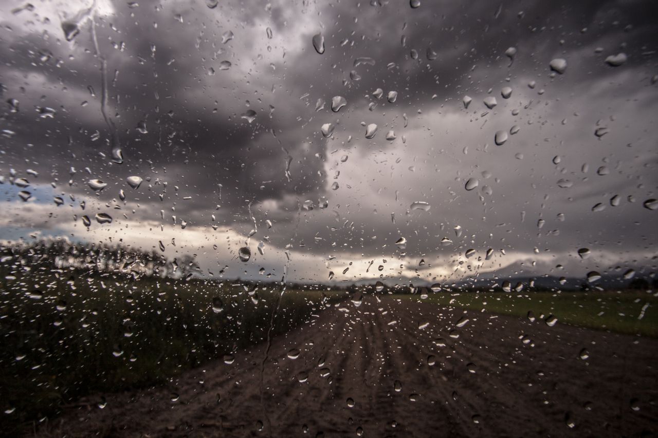
Drying conditions will generally be poor for the coming week with frequent spells of rain. There will be a period of moderate to good drying however during Friday with mainly dry conditions, and just isolated showers.
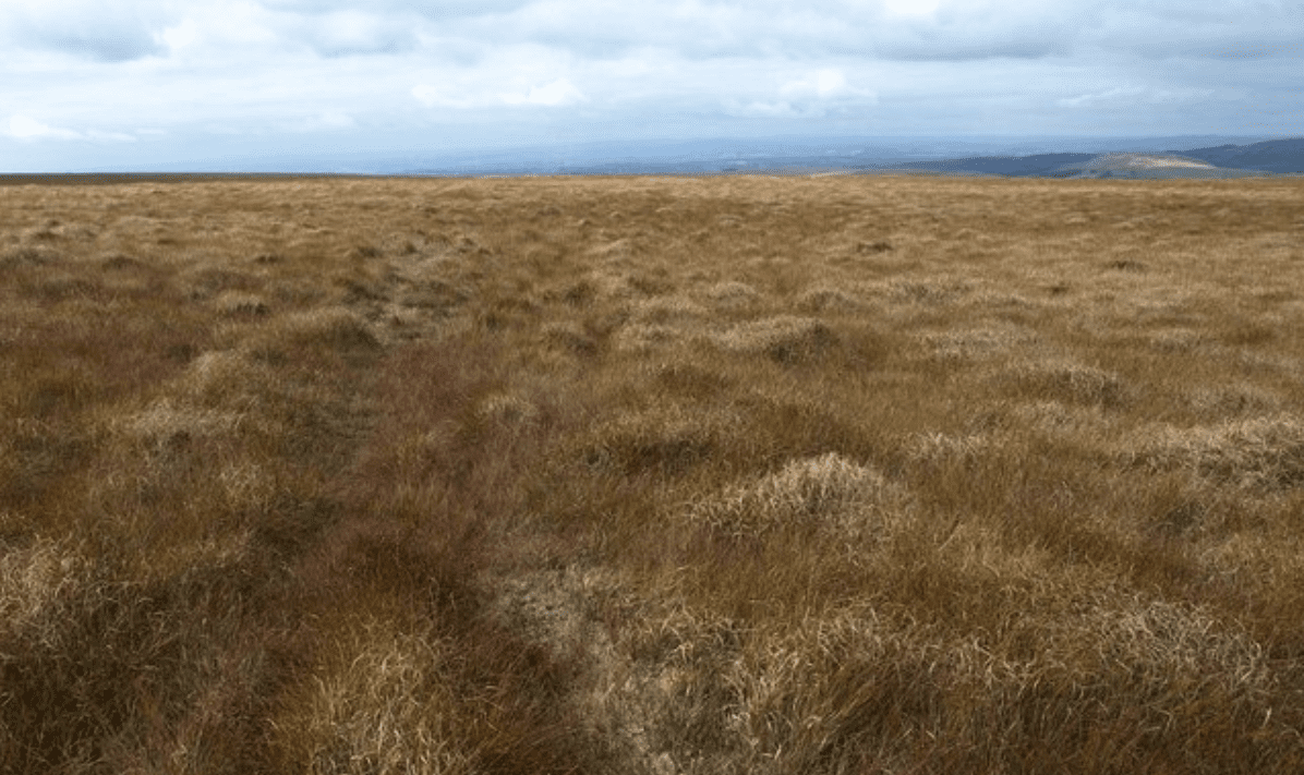
Currently, soils are saturated nationwide with all poorly drained soils and most moderately drained soils waterlogged.
Soils will remain saturated or waterlogged in the coming week, though some moderately drained soils may improve slightly. Poor field trafficability can be expected, according to Met Éireann.