Weekend weather: Mostly dry with high pressure


The weekend weather forecast indicates mostly dry conditions as a band of high pressure continues over the country.
According to Met Éireann it will be dry today and tomorrow with cooler conditions expected on Sunday.
Starting with the forecast for today (Friday, May 26), it will be dry with a mix of cloud and sunny spells. Highest temperatures will range from 17° to 20°C with a mostly light north-east breeze.
It is expected to be clear and calm for most of tonight with some mist and fog. It may be a cloudier night for parts of the north and west with lowest temperatures of 6° to 10°.
Weekend weather
Looking ahead to the weekend weather, any fog will clear early tomorrow, Saturday (May 27) morning.
According to the national forecaster, Saturday will bring a mix of cloud and sunshine. There will be some spots of drizzle along with isolated showers, but overall there will be a good deal of dry weather.
Highest temperatures will reach 18° to 21°. It will be cooler across the north-west as a light to moderate north-westerly wind develops.
On Saturday night, any lingering showers at first will die out, becoming largely dry. There will be variable cloud cover with some clear spells and lowest temperatures will range from 7° to 11° with light northerly winds.
Sunday will be a cooler day with highs generally between 14° and 18°, although temperatures may struggle to reach the teens in the north.
There will be light or moderate north-east winds. It is expected to remain mainly dry and quite cloudy with the chance of a shower in the south and turning mostly sunny later in the afternoon.
It is expected to be cool on Sunday night with lowest temperatures between 4° and 7°. It will be a dry, clear night with light north-easterly breezes.
Outlook next week
For Monday, there should be good sunny spells with just a little cloud building during the day.
Highest temperatures are expected to reach between 17° and 21°, warmest over the western half of the country and coolest along the eastern coast with a light to moderate easterly wind.
Tuesday will be a sunny day with a light or moderate easterly wind. It will be somewhat cool along the east coast, but warmer further to the west, with highs ranging from 15° to 21°.
Later next week there is expected to be little change, likely continuing mostly dry with an easterly airflow. Coolest in the east with highs in the mid- to high-teens. Warmest in the west, with temperatures around 20° or higher.
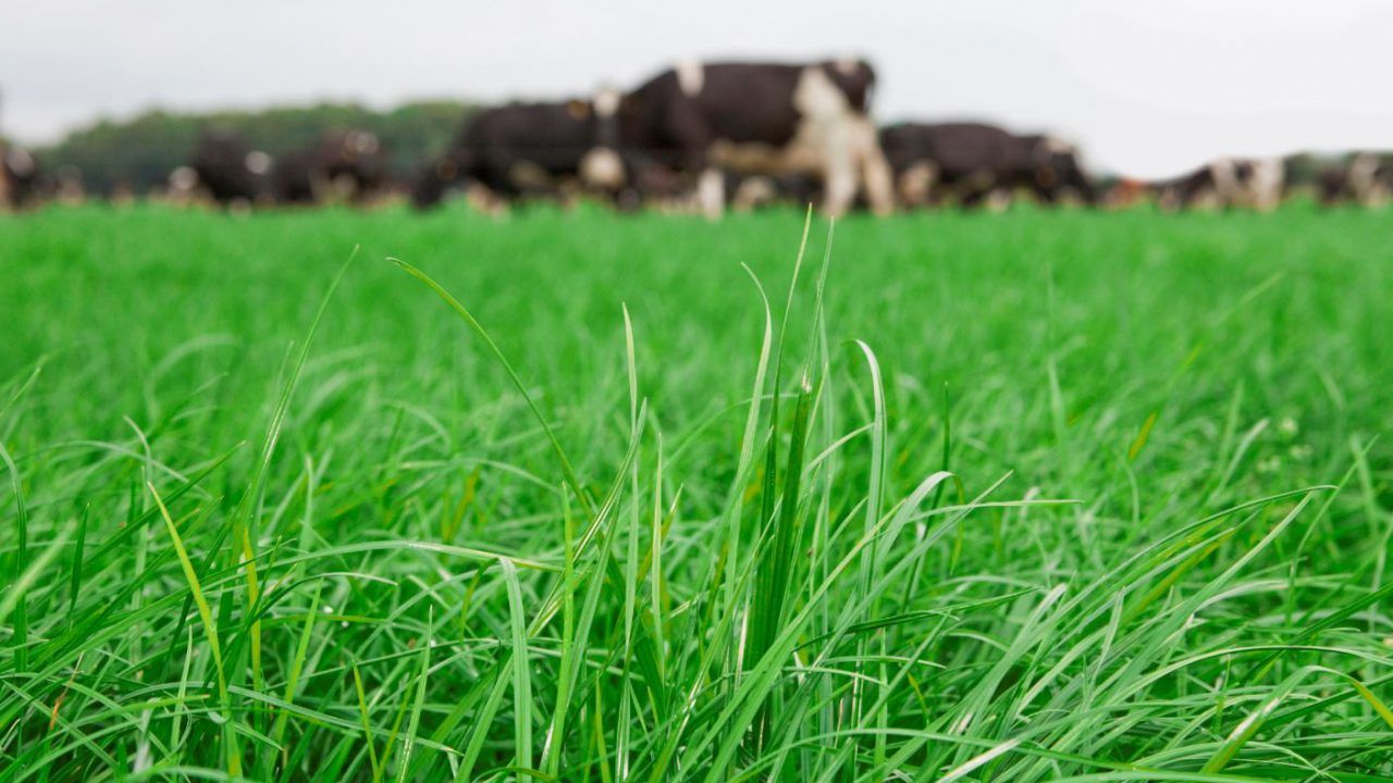
Drying and field conditions
Overall, drying conditions will be generally good over the coming week, with a good deal of sunshine and dry weather.
Drying conditions at the weekend may be hindered by a general increase in cloud cover but conditions will remain largely dry.
A combination of light winds and little or no precipitation will give good spraying opportunities in all areas this week.
All soils are dry at the moment, with soil moisture deficits (SMDs) between 10mm and 20mm in the north-west and between 20mm and 40mm elsewhere.
Lack of rainfall over the next seven days means SMDs will increase in all areas. SMDs will range from approximately 30mm in the north-west to 60mm in the south-east.
While this will give trafficable conditions across all soil types, growth will be somewhat restricted as a result.