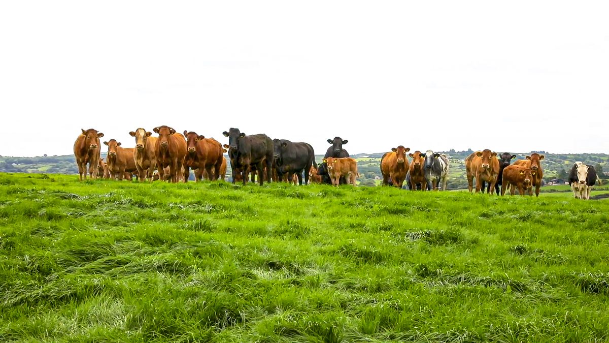
Weekend weather forecast: Unsettled with localised downpours


The weekend weather forecast indicates an unsettled few days with showers most days, some heavy on Monday.
Starting today (Friday, May 20), outbreaks of rain in western areas will be heavy at times as it moves eastwards across the country this morning, followed by sunny spells and heavy blustery showers.
Some thundery falls are possible locally, especially over the eastern half of the country this afternoon, with a chance of hail and spot flooding, according to Met Éireann.
Showers will ease in the evening with many areas having a dry and bright end to the day. Highest temperatures of 13°C to 17°, with best values further east. Moderate to fresh and gusty southerly winds will veer westerly.
Tonight will be largely dry after lingering showers this evening die out.
It will be mostly clear at first, but it will turn cloudier overnight with some showers moving onto western coasts towards dawn.
Winds will ease to a light to moderate southwest breeze with lowest temperatures of 6° to 9°.
Weekend weather forecast
A good deal of cloud around tomorrow Saturday, with showers, most persistent and frequent across Connacht and Ulster.
Decent dry spells are forecast elsewhere with showers more isolated. It will brighten up at times with the odd spell of sunshine breaking through.
Highest temperatures of 14°-18°, coolest in the northwest. There is expected to be moderate southwest winds, fresher at times near western coasts.
It is expected to be a cloudy to overcast night on Saturday night, with showers persisting in Atlantic coastal counties. There will be long dry spells in the east with just the odd shower overnight. It will be mild and humid with temperatures not falling below 11° or 12°.
Moderate to fresh southwest winds will be strong for a time on northwestern coasts. It may also be misty in places with some local fog.The national forecaster has indicated that it will be a rather cloudy morning on Sunday, with showers extending countrywide.
It will brighten up in the afternoon with some sunshine in between showers. Highest temperatures on Sunday of 14° to 18°, with moderate southwest breezes.On Sunday night, showers will continue to feed in overnight from the Atlantic in a light to moderate westerly breeze. There will be some clear spells, with the driest weather towards the southeast. Lowest temperatures of 7° to 10°.
Outlook for next week
For Monday, it looks like there will be widespread showers, turning increasingly heavy during the afternoon with the chance of a thundery downpour, interspersed with bright or sunny spells.
It will feel fresher with highest temperatures of 12° to 15° and a moderate northwest breeze. Showers will continue in western coastal areas overnight, becoming largely dry elsewhere with varying cloud cover. Overnight temperatures will range from 6° to 9°.
Tuesday will be another day of showers with some sunny periods. The odd shower will be heavy. Highest temperatures of 12° to 15° with a moderate westerly breeze.Looking further ahead, it is expected to stay generally unsettled with rain or showers moving in from the Atlantic, but temperatures will likely rise slightly back into the mid-teens.
Drying conditions
Drying conditions in the coming week will generally be poor with rain or showers expected.
The best opportunities will be for Leinster and the midlands on Saturday outside of isolated showers, though winds will just be light or moderate so drying conditions will be more moderate.
All soil types across the southern half of the country, apart from the far southwest, as well as eastern parts have deficits ranging from 20-35mm.