Weekend weather forecast: Humid and mostly dry with showers

The weather has been quite humid in most parts of the country in recent days and that looks set to continue throughout the weekend.
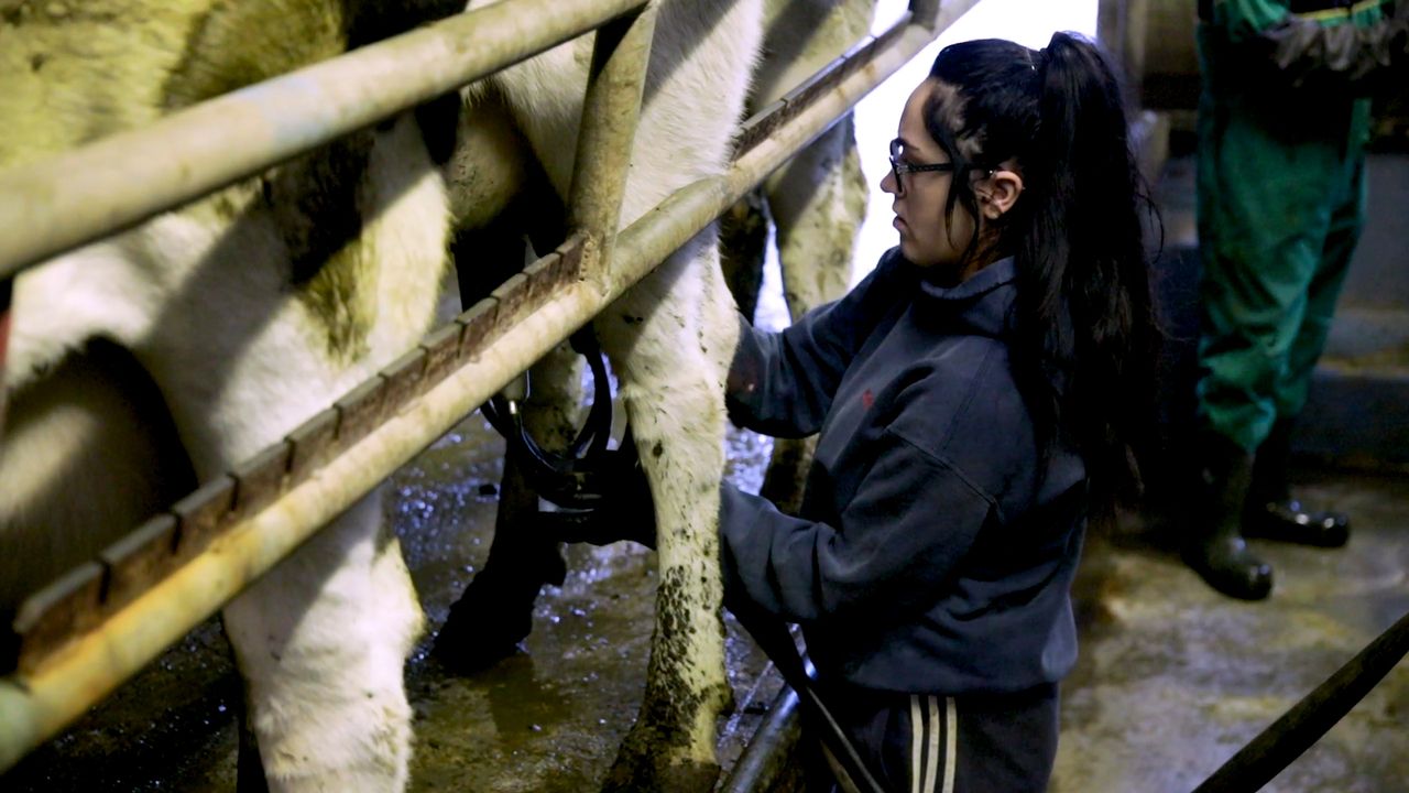
Rainfall amounts over the past seven days were well above average throughout most of the country, with recorded amounts ranging from 1.5 to four times their respective averages, helping grass growth.
According to Met Éireann, there will be some early patches of mist and drizzle about this morning (Friday, June 9). It will be mostly cloudy in southern counties today, with showery outbreaks of rain spreading northwards over Munster.
Elsewhere across the country, there will be long dry periods with some bright or sunny spells developing in places and just scattered showers.
Maximum temperatures ranging from 16° under the cloudier skies, to 20° in any prolonged sunny spells, with mostly moderate southeast breezes.
There will be some showery bursts of rain over Munster and south Leinster early tonight but becoming drier.
In Connacht, Ulster and north Leinster it will be mostly dry with clear spells. It will be another humid and close night with lowest temperatures of 11° to 14° with light winds.
Weekend weather
Saturday will bring a mix of sunny spells and a few passing showers for much of the day.
However, during the evening, there is the chance of some showery outbreaks of rain moving across west Munster and Connacht.
It will continue fairly warm and humid on Saturday with maximum afternoon temperatures ranging from 18° to 22° in light southerly breezes.
Showery outbreaks of rain will extend nationwide on Saturday night with some heavy bursts possible. Minimum temperatures of 11° to 14° in moderate southerly winds.On Sunday, the national forecaster has said there will be a mix of sunshine and heavy showers.
Across Munster, the showers may merge to give a more persistent spell of rain. Top temperatures will range from 16° to 20° on Sunday, warmest in the east and northeast of the country, with moderate south or southwest winds.
There will be clear spells and well scattered showers on Sunday night with minimum temperatures of 9° to 12° in light northwest breezes.
Outlook for next week
Monday will be a bright day with a mix of sunny spells and a few passing showers.
Highest temperatures on Monday will range from 17° to 21°, warmest in the east of the country in moderate northwest breezes.
Clear spells and just a few isolated showers are forecast on Monday night with lowest temperatures of 11° to 14° in moderate northwest winds.
It looks set to be a mostly dry day on Tuesday with plenty of cloud but also some sunny spells.
There will be just be a few showers drifting south in the north to northwest air-flow, and highest temperatures of 16° to 20°, warmest in southern and eastern areas.
Dry on Tuesday night with clear spells and lowest temperatures of 9° to 12°.Early indications are that a ridge of high pressure will lie over Ireland next Wednesday bringing generally dry weather with a mix of cloud and sunshine.
Drying conditions
With largely unsettled conditions over the coming week, drying conditions will be quite poor with rain and showers and mostly light to moderate winds.
There are indications of improving conditions from midweek next week.