Weekend weather forecast: Dry with high temperatures


The weekend weather forecast looks positive for those looking for good drying weather as warm temperatures and spells of sunshine look likely as high pressure continues over the country.
Met Éireann has said that mist and fog will generally burn off through this morning (Friday, July 16), but patches may linger locally in coastal areas.
It will be cloudy to begin today, slowly brightening up with warm sunny spells developing.
It will stay a little cloudier near northwestern coasts where there may be a spot of drizzle, and also there is the chance of a light isolated shower near southern coasts.
Otherwise the national forecaster says it will be dry and very warm with top temperatures of 21° to 25°, cooler near coasts due to sea breezes.
Weekend weather forecast
Looking ahead at the weekend weather forecast, tonight will be mild and humid with temperatures not falling below 13° to 16° in many areas, but falling back to 10° to 12° in some parts of the west.
Met Éireann has said it will be dry and largely clear at first, however it will become misty again overnight in parts, with fog forming in some areas due to near calm conditions.
Tomorrow, Saturday, will be very warm or hot and dry with good sunshine for many.
However, it will be cloudier near northwestern and northern coasts.
There is a small chance of a light shower in the southwest later in the day, with temperatures rising to between 23° and 27°, cooler near coasts due to sea breezes, with light northwest or variable breezes inland.
On Saturday night it will be a very mild night with temperatures remaining above 14° across much of Leinster and east Munster, and not falling below 11° to 13° elsewhere.
There will be clear skies in most areas, cloudier in the far north and northwest. Mist and fog will form in light northerly or variable breezes.Sunday will be dry with good sunny spells for most, but cloudy across the north of the country with some drizzle possible near coasts.
Light isolated showers will likely develop in the southeast from Sunday afternoon.
It will be very warm or hot with highs of 23° to 27°, but not as warm in the north with highs there of 19° to 22°. Winds will be light and mainly northerly in direction, but sea breezes will develop.The national forecaster has said it will be a largely clear night on Sunday night, with some mist and fog forming overnight in light easterly breezes.
It will be very mild with temperatures holding above 14° to 16° across the southern half of the country, and 11° to 14° further north.
Outlook for next week
It looks like the band of high pressure which has moved in over Ireland will continue into the early part of next week.
Monday will be dry in most areas with sunny spells and light easterly breezes, but it will be cloudier in the north.
A few light showers will likely break out too but it will continue to be very warm with highs of 22° to 26°, cooler near northern and eastern coasts due to light easterly breezes.
Monday night will be another mild night with mainly clear skies. Temperatures will not fall below 13° to 16° in most areas, but will fall back to 11° to 13° across Ulster.
Tuesday will be another mostly dry and sunny day with light easterly winds. Very warm again for most places with highs of 22° to 26°.
Dry and clear overnight with temperatures similar to Monday night, remaining in the mid to high teens largely, but a little cooler across Ulster.There is uncertainty in the forecast from midweek next week but current indications suggest that it will continue warm, dry and sunny on Wednesday with a possible change to showery conditions from Thursday.
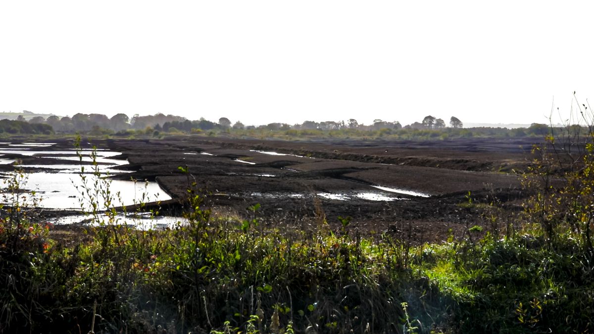
Field conditions
Most soils are trafficable with soil moisture deficits ranging between 2mm in parts of Connacht to around 48mm in the east.
With little or no rainfall expected in the coming week, soil moisture deficits will increase across the country, to range between 30mm in the northwest and 65mm in the south and east.
This may bring some restriction to growth.