Weekend unsettled, with rain and blustery showers in store

This weekend is set to be unsettled weather wise, with rain and blustery showers; however, it will become milder as next week progresses.
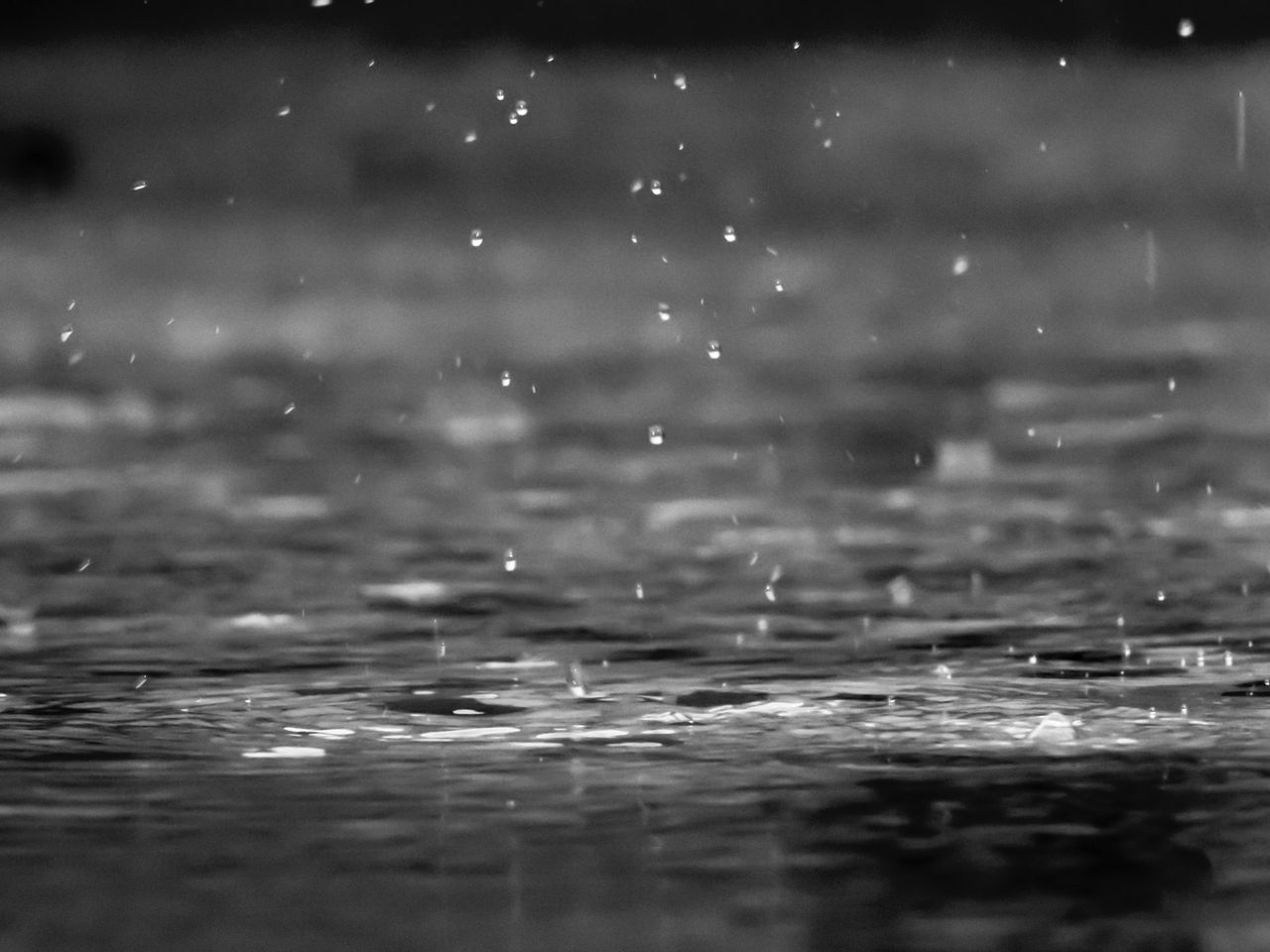
Some accumulations of sleet and show will lead to some hazardous driving conditions this morning (Friday, January 7). Widespread showers of rain, sleet and snow will continue this morning along with a chance of isolated thunderstorms and hail.
During the afternoon, showers will tend to die out. However, rain and milder conditions, will push in in the south and west. Highest temperatures will be 3° to 5° in the north and east, milder in the south and west with highs of 6° to 9° in moderate to fresh and gusty westerly winds.
Rain will spread eastwards across the country tonight, turning heavy at times, especially in the west and southwest with a risk of localised flooding.
Lowest temperatures tonight will be 0° to 3°during the evening in the north and east but a milder 4° to 8° in the south and west. Milder conditions, accompanying the rain will extend across the country overnight, as south to southwest winds increase fresh to strong and gusty.
Rain will quickly clear tomorrow morning (Saturday, January 8) with sunny spells and showers following from the west. Hail with isolated thunderstorms are possible, while some may turn to sleet through the evening hours.
While the day will start mild, temperatures will drop through the day with early afternoon highs of 4° to 7°, in fresh and gusty westerly winds.
Showers will become confined to western and northern coastal counties on Saturday night, with long dry periods and clear spells elsewhere. Lowest temperatures are expected to be 1° to 4° generally, holding a little milder near Atlantic coasts.
Apart from a few wintry showers in the northwest at first, it will be a mostly dry start to Sunday (January 9). However, rain will develop in the southwest and spread northeastwards to all areas through the afternoon and evening.
Afternoon temperatures on Sunday will be 7° to 11°, but becoming milder during the evening as moderate southeasterly winds veer southwesterly.
Sunday night will be mostly cloudy, with outbreaks of rain and drizzle mainly along western and northern coasts. Lowest temperatures should be 5° to 9° early, with temperatures rising through the night as southwest winds increase moderate to fresh.
Monday (January 10) will be mild and mostly cloudy with outbreaks of rain or drizzle in the west during the morning, extending eastwards during the afternoon. After a mild start, afternoon highs will range from 9° to 13°, but cooling through the afternoon with fresh southwest winds veering westerly and moderating by evening.
Tuesday (January 11) is expected to see sunny spells across the east with more showery conditions in the west. Highest temperatures will be 6° to 9° in light to moderate westerly winds.
Wednesday (January 12) is expected to see sunny spells in the south and east, but cloudier with patchy outbreaks of rain in the north and west. Highest temperatures should be 8° to 11° in light to moderate southwesterly winds.