Weekend to bring cloudy and misty weather, with some brighter spells

The weekend will bring mainly cloudy and misty weather, with some brighter spells too, Met Éireann has forecast.
Today's (Friday, November 5) weather will be mostly cloudy with patchy drizzle, mainly affecting the west and northwest.
The best of the brighter spells will be in parts of Leinster and Munster.
It will feel a little less cold than recent days, with highest temperatures of 10° to 12°, in a light to moderate westerly breeze.
Tonight will be mostly cloudy and mainly dry, apart from some mist and drizzle. A few clear spells may develop in some southern areas.
Towards morning, however, more persistent rain and drizzle will develop near the west and northwest coast.
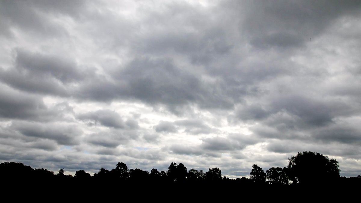
Cloudy and misty weekend weather
Tomorrow (Saturday) will be windy, with a band of rain to move southeastwards across the country with drier brighter conditions and a few showers following.
It will be a mild day too with highs of 12° to 14° in strong and gusty southwest winds, veering west to northwest and moderating away from northern coasts as the rain clears.
Saturday night will be mainly dry with a fair amount of cloud and some patchy mist or drizzle.
Sunday will be mainly dry with a mix of cloud and some sunny spells and just the chance of a stray coastal shower.
It will turn a little fresher again too with highs of 10° to 12° in mostly moderate northwesterly winds, stronger for a time in the north and east.
Monday will become mild and mostly cloudy with some rain spreading across the country in freshening southerly winds.
The rain will ease off in the late afternoon but will persist near some coastal areas.
Drying, spraying, field conditions
After quite a few drier days this week, the coming week will likely see a mixed amount of rainfall with the southeast the driest and the northwest having a wet week, the national forecaster said.
However, even with a relatively dry week ahead for much of the country, it will be cloudy and with quite a bit more moisture in the milder air mass, there will likely be very little meaningful drying.
Any rainfall will quickly mitigate what drying there is and the southeast looks to be the only area that may see minimal drying.
Saturday, Tuesday and Wednesday look like the wettest days of the coming week, however most of the rainfall will be concentrated in the west and northwest and thus the southeast will see good opportunities to spray on most days up until Wednesday.
The best day across the country will be on Sunday. Even where it holds dry early on Saturday in the south and east, windy conditions may limit spraying opportunities.
Field conditions and trafficability are generally poor across much of the country with all soil types saturated or near saturated nationwide.
Poor-drained soils are waterlogged in parts of the northwest and near waterlogged elsewhere.
Drying conditions will be rather poor in the coming week and any further precipitation will likely push more parts of the north and west to waterlogged levels in poorly-drained soils. Trafficability will generally not improve through the period.