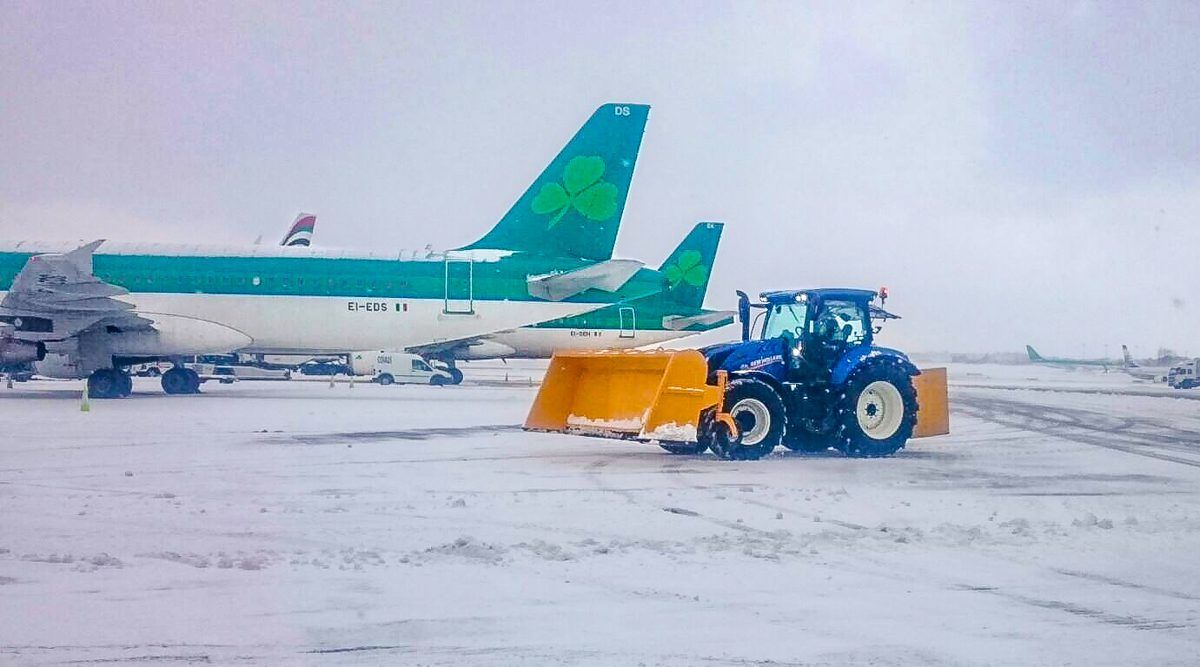
Weather warnings extended until tomorrow morning

Met Eireann has issued several weather warning updates for the country this evening, which will remain in place until 9:00am tomorrow morning.
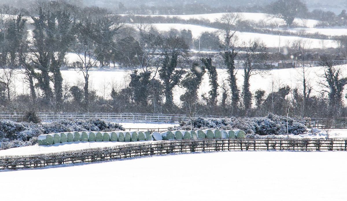
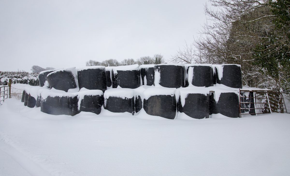
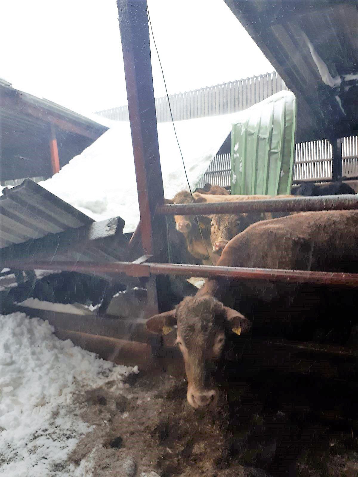
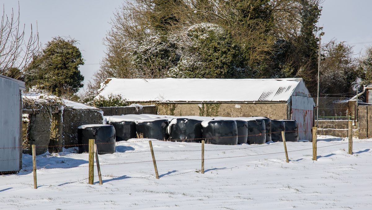
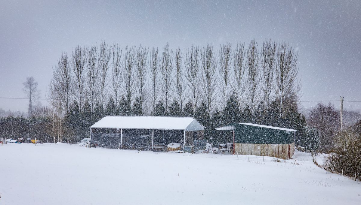
A Status Red snow and ice warning is in place for counties Dublin, Kildare, Wexford, Wicklow and Meath. Snow accumulations are continuing to increase significantly due to further heavy falls.
Meanwhile, Munster has been downgraded to a Status Orange snow and ice warning – counties Carlow, Kilkenny, Laois, Longford, Louth, Offaly, Westmeath, Cavan, Monaghan and Galway are also covered by this warning.
Counties Donegal, Leitrim, Mayo, Roscommon and Sligo have been issued with a Status Yellow snow and ice warning, with scattered snow showers expected.
Forecast
Tonight is set to continue very cold and icy. There’ll be further outbreaks of snow at times, heaviest over eastern and southern areas.
Towards dawn, the snow will turn more to rain along the south coast, according to Met Eireann.
Some dry periods are expected overnight too – best over northern and northwestern areas. Temperatures may drop to as low as -3º.
Tomorrow
Some snow is likely tomorrow morning, mainly over the northern half of the country. But a band of rain and sleet forecast over south Munster will edge further northwards through the day, Met Eireann added.
Some sleet and snow will continue to affect Ulster in the afternoon. Temperatures will range from 1º to 3º over Ulster; but 3º to 7º elsewhere.
Sunday
The cold weather is set to continue through the rest of the weekend with highest temperatures during Sunday reaching just 2º to 4º.
There will be a good deal of dry weather across the south of the country; but, wintry showers, or some showery rain, will affect more northern counties. Widespread frost is expected overnight.