Weather to turn warmer and drier in coming days


The weather is set to turn warner and drier over the coming days after dull conditions today, according to the national forecaster Met Éireann.
Dull and misty conditions will persist across much of the eastern half of Ireland today (Friday, May 28), bringing scattered outbreaks of rain and drizzle, though easing off at times, especially this evening.
It will be drier and brighter across the western half of the country, with the best of the sunny spells across west and southwest counties. Highest temperatures will range from 13° to 18°, mildest in sunshine closer to the west coast.
Winds will be mostly light and variable across the country, but increasing moderate southeasterly along Irish Sea coasts.
It will be generally dry but misty in parts tonight with just light variable breezes. Lowest temperatures will be 5° to 10°, coolest under clearer breaks across west and southwest counties.
Tomorrow (Saturday, May 29) will be a very mild or warm day, with good sunny spells breaking through. However, isolated showers will develop too. Highest temperatures will range from 15° to 20° or 21°, with best values inland. Winds will be just light and variable, though local sea breezes will develop.
Most areas will be dry with clear spells on Saturday night. Mist of shallow fog patches will develop locally though Lowest temperatures will be 5° to 8°.
On Sunday (May 30), most areas will be dry and warm with good sunny spells. Highest temperatures will generally range 19° to 21°, in just light southerly or variable breezes. It will not be quite as warm across parts of the south and west coast, but it will remain very mild.
On Sunday night, it will stay dry across most areas with clear spells and light southerly breezes. However, some mist and fog will develop across southern counties. Lowest temperatures will be 6° to 9°.
For Monday (May 31) and Tuesday (June 1), current indications suggest they will remain mostly dry and warm with pleasant spells of summer sunshine. However, damp weather may occasionally move in off the Atlantic.
Temperatures will generally reach the high teens or low 20s, in just light southerly breezes, which will veer northwest and freshen along west and southwest coasts into Tuesday.
Farming weather
In its latest farming commentary, issued yesterday, Met Éireann said that drying conditions will improve due to a good deal of dry weather over the weekend. However, a spell of rain on Monday in the north and west might hamper drying in those areas.
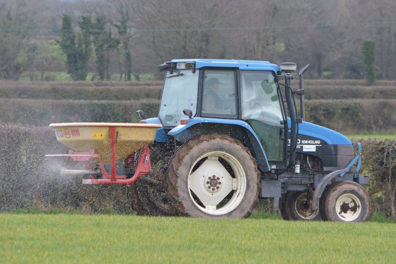
Spraying conditions will be good throughout the weekend due to dry conditions and only a little breeze.
Most well- and moderately-drained soils are trafficable, with soil moisture deficits ranging between 2mm in the southwest and 12mm in the northeast. Some poorly drained soils are saturated or waterlogged, especially in Leinster, south Munster and north Connacht. All soils are forecast to become drier over the next week.