Weather to become more settled but remaining fairly cool

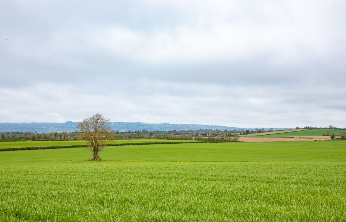
The weather is set to become a bit more settled over the weekend and into the early part of next week – but there’ll be no great warmth in it.
Today (Friday, August 28) will brighten up from the west with sunny spells developing later as showers become more isolated.
Highest temperatures will be 14° to 17°, though feeling cool in fresh and gusty northerly winds, which will be strong at coasts.
A mostly sunny start tomorrow (Saturday, August 29) will give way to a cloudier afternoon with more of a mix of cloud and sunny spells.
It will be a largely dry day though, with just isolated light showers. Moderate north to northwest winds will be fresh at times near coasts. It will be cool for the time of year, with highest temperatures of 13° to 16°.
Skies will clear on Saturday night with minimum temperatures dropping to between 4° and 8°. Some grass frost is possible locally in Munster and south Leinster, with light northwest or variable breezes.
It will be dry with variable cloud amounts and clear spells on Sunday night. Cloud will thicken from the west overnight with light southeast breezes developing. Minimum temperatures will be 7° to 11°.
It will be dry in most areas to begin on Monday (August 31). It will be mostly cloudy over the western half of the country, with patchy rain and drizzle pushing in over Munster and Connacht during the morning, which will be persistent near Atlantic coasts later. It will be drier and brighter in the east at first, but thickening cloud will bring patchy rain and drizzle here too during the afternoon and evening.
It will remain rather cool on Monday, with maximum temperatures of just 14° to 16°. Moderate south to southeast breezes will increase fresh to strong and gusty on west and southwest coasts.
Tuesday will be a little milder than preceding days, with maximum temperatures of 15° to 19° in light to moderate southerly breezes, veering westerly.
Although there is a lot of uncertainty for days following that, indications from Met Éireann suggest that the weather will turn more unsettled, though temperatures will rise slightly.
Drying, spraying and soil
The weekend will be mostly dry, though temperatures will be generally chilly. Patches of rain on Monday and Tuesday will limit drying conditions.
Spraying opportunities will improve over the weekend, particularly on Sunday with light winds. Rain on Monday and Tuesday will limit opportunities.
There is little in the way of soil moisture deficits for well drained soils across the country, indicating soil is at saturation. Moderately to poorly drained soils are waterlogged with soil moisture deficits of 0mm to -10mm. Little change is expected in the coming days.
Soils will become slightly drier as all soils will generally be at or near saturation, though some moderately to poorly drained soils in the east and southeast will remain waterlogged.