Weather forecast: Dry in many areas with temperatures set to rise

The weather forecast for the week looks to be a mixed bag with some areas experiencing mild temperatures and dry periods, with intermittent showers elsewhere, but high pressure will continue to build.
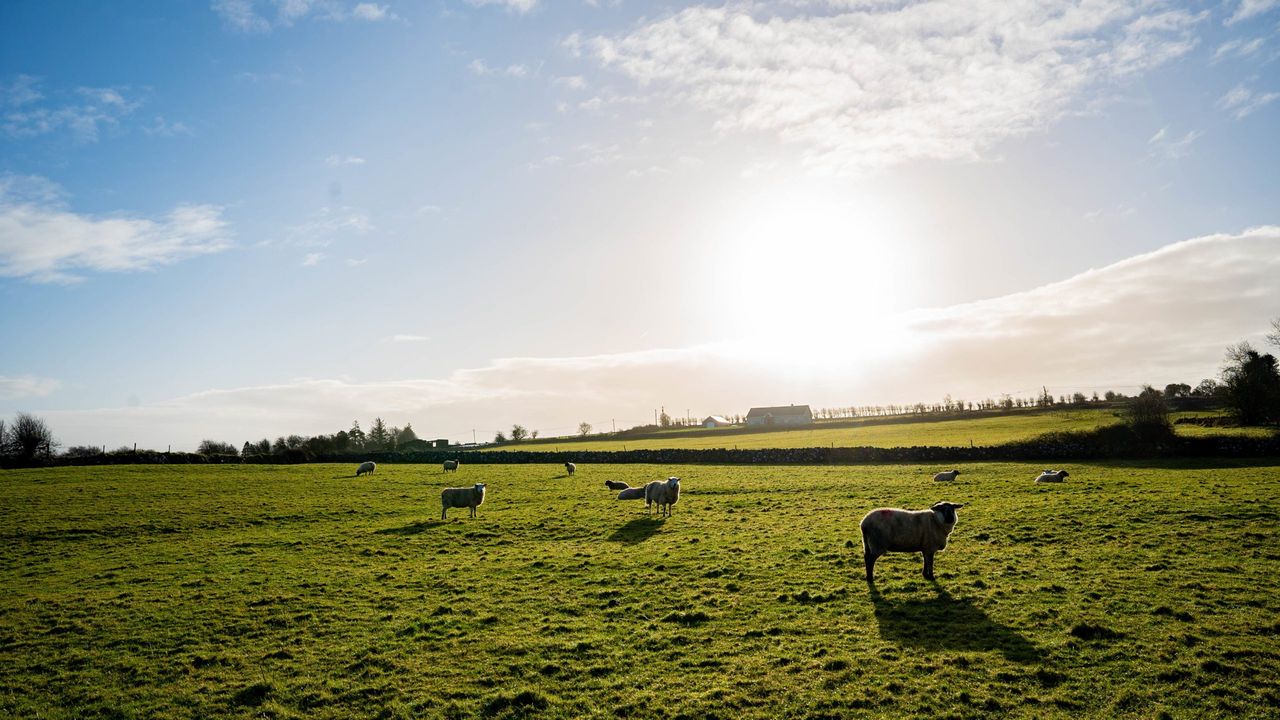
There will be a good deal of cloud through much of the working week with small amounts of precipitation, mainly in the north and west. It will become warmer towards the end of the week with temperatures reaching the low to mid-20s.
Met Éireann forecasts that it will be largely dry this morning (Monday, July 4) with plenty of cloud, some sunny spells and isolated showers, which will become mainly confined to the north this afternoon.
Longer spells of sunshine will develop in many areas towards the evening, though cloud will thicken in the northwest later with patchy drizzle developing.
Highest temperatures are expected to be 15°-19°, warmest in the southeast, in mostly moderate northwest winds, strong at times along northern coasts.
There is expected to be clear spells at first tonight in the south and southeast, becoming cloudier through the night with patchy light rain and drizzle mainly in the northwest.
Temperatures won't fall below 8° to 12° in light to moderate westerly breezes, which will allow some mist patches to develop.
Weather forecast for the week
The national forecaster has said that there will be a good deal of cloud tomorrow (Tuesday, July 5), though there will be bright or sunny spells, especially in the south and east in the afternoon and evening.
There will be long dry intervals with just patches of light rain or drizzle at first, with isolated showers in the afternoon and evening.
Highest temperatures will range from 16° to 21°, coolest in the northwest and mildest in the south and southeast, in a moderate westerly breeze.
On Tuesday night, the weather forecast is for cloudy, mild and humid conditions with light outbreaks of rain extending from the northwest mainly over Connacht and Ulster and staying largely dry elsewhere.
Temperatures won't fall below the low to mid-teens with light to moderate westerly breezes.
On Wednesday (July 6), it will be mostly cloudy with scattered patches of rain and drizzle in the north and west with more isolated patches elsewhere with just a few sunny breaks.
Highest temperatures will range from 16° in the northwest to 21° or 22° in the southeast, in moderate westerly winds.
It will be another mild and humid night on Wednesday night. Dry for most areas, but scattered outbreaks of light rain or drizzle will occur, mainly in the north and west.
On Thursday (July 7), there is expected to be plenty of cloud at first but sunny intervals will develop during the afternoon and evening, the best of which will be in the south and east.
There will be a good deal of dry weather too with just well-scattered light showers. Highest temperatures of 18°- 22° generally, but cooler in parts of the northwest in light to moderate west to northwest breezes.
Overnight, cloud will again build from the northwest with outbreaks of light rain following towards morning.On Friday (July 8), it will be mostly dry and cloudy at first with outbreaks of light rain in the northwest dying away with isolated light showers breaking out during the day. Some sunny spells will develop as well.
Highest temperatures of 18°-23° for most areas, in light to moderate northwesterly breezes.
Next weekend
Looking ahead to next weekend, at this stage it looks like it will be dry for most with light winds and sunny spells, though outbreaks of rain will affect parts of the north and west at times. Temperatures are expected to widely reach the low to mid-20s.Looking further ahead to next week, high pressure is expected to dominate the weather with largely dry and warm conditions.