Unsettled week in store with risk of flooding on Wednesday


A week of unsettled weather is in store over the coming days, with a risk of spot flooding expected on Wednesday due to heavy rain.
Turning to today (Monday, November 9), a rather cloudy and dull start to the week is expected, with outbreaks of rain at times, turning heavy and persistent in the southeast and later in the east.
There’ll be a good deal of dry weather in the north and west with just isolated showers there and in the afternoon sunny spells will develop for most places, Met Éireann says.
Tonight temperatures will fall to between 7° and 9° with light variable winds. It will be largely dry with just isolated patches of drizzle and mist, which will later turn a little more persistent in the east.
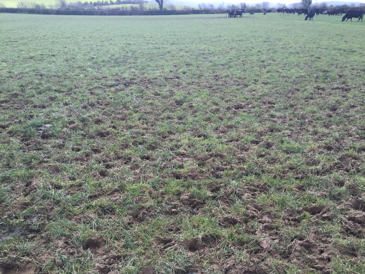
Farming and field conditions
There will be limited drying in the coming week due to the generally unsettled conditions. Tomorrow and Thursday will be largely dry days, although winds will be light and patchy drizzle and fog may occur.
There will be some spraying opportunities tomorrow and Thursday but it will be mainly unsettled the rest of the week.
The above-average rainfall in the coming week will deteriorate the situation further with moderately drained soils becoming waterlogged at times.
Tomorrow
Tomorrow will start out rather cloudy in the east with a little lingering drizzle and mist; however, sunnier conditions elsewhere will extend countrywide during the morning, the national meteorological office says.
Later in the afternoon cloud will thicken from the west as southerly winds freshen, bringing rain. Afternoon temperatures of 11° to 13° are forecast.
Tomorrow night outbreaks of rain in the west will become heavy and persistent; it will spread eastwards overnight, Met Éireann says.
Lowest temperatures of 9° to 11° are expected with strong southerly winds developing.
Outlook
Wednesday will be a wet and windy day with a risk of spot flooding as rain turns heavy and persistent for a time.
The strong southerly winds will ease later and temperatures will be between 11° and 13° once again.
Thursday will be a dry day with sunny spells at first but it’ll become cloudy later.
A moderate southwest wind will freshen by Friday, when another spell of heavy rain is expected.