Unsettled weather with rain and risk of hail over coming days

Following a cold start, weather over the coming days will be unsettled through the rest of the weekend with spells of rain and showers, according to Met Éireann.
Conditions will be mild for the time of year heading into next week, however.
Starting off with this morning, Met Éireann says it will be a bright day today with scattered heavy showers and a risk of hail.
Highest temperatures of 8° to 12° are expected in moderate to fresh southwest winds.
Tonight will see outbreaks of rain in Atlantic counties extend northeastwards becoming widespread across the country.
Rain will ease for a time overnight with dry spells developing before another band of rain follows in to the southwest towards dawn.
Lowest temperatures will drop to 5° to 8° in moderate to fresh southerly winds, strong on coasts.
Farming and field conditions
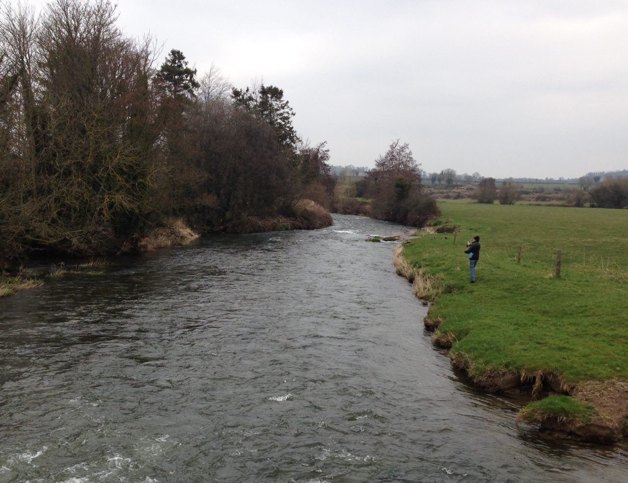
Suitable drying conditions will be limited over the next week as the weather stays unsettled. However, there will be poor drying conditions over the weekend despite brisk winds due to rain and frequent showers. Meanwhile, spraying opportunities will be limited due to breezy conditions over the next few days.
With up to twice the average rainfall expected in the coming week and limited drying opportunities soil conditions are unlikely to improve. Poor field trafficability can be expected.
Tomorrow
Conditions will be cloudy and damp in many areas tomorrow morning with outbreaks of rain. A band of rain will move northwards across the country during the morning and afternoon, turning heavy at times.
It will brighten up from the southwest in the afternoon, with scattered heavy showers following, some with hail with a risk of isolated thunderstorms.
Rain will continue over much of Connacht and Ulster into the evening, the national meteorological office adds, with highest temperatures of 10° to 13°.
Tomorrow night will have showers and some clear spells to start, mainly in the northern half of the country with drier conditions further south at first.
Further spells of rain and showers will feed in from the Atlantic overnight with a continued risk of hail. It will be mild to start with, with lowest temperatures of 5° to 8° occurring around dawn.
Southerly winds will moderate overnight but remaining strong on southern coasts.
Sunday
Widespread showers and some longer spells of rain and risks of hail and isolated thunderstorms are forecast for Sunday. There will be good sunny spells, however, Met Éireann says.
Highest temperatures will hold at 9° to 12° in light to moderate southerly winds, strong on southern coasts, veering westerly and freshening later.
Sunday night will be a blustery night with further outbreaks of rain and showers with fresh and gusty westerly winds.
Lowest temperatures of 5° to 8° are forecast, expected to occur early in the night.