Unsettled conditions return as temperatures turn milder - Met Éireann


An unsettled few days is in store with wet conditions but considerably milder temperatures than recent weeks, according to Met Éireann.
Conditions will turn drier and colder from Thursday, the forecaster says.
Turning to today’s weather (Monday, January 11) a cloudy and dull day is on the cards as outbreaks of rain become widespread. Rain will turn heavy in the west and northwest through the afternoon and evening.
Highest temperatures of 7° to 10° are expected. It’ll be rather breezy in moderate to fresh and gusty southwest winds, strong on Atlantic coasts, the national meteorological office adds.
Rain will clear Ulster later in the night allowing temperatures to fall to between 0° and 3° there, with frost and ice forming.
Temperatures elsewhere will generally remain unchanged through the night. Moderate to fresh westerly winds will fall light and variable in Ulster, Met Éireann says.
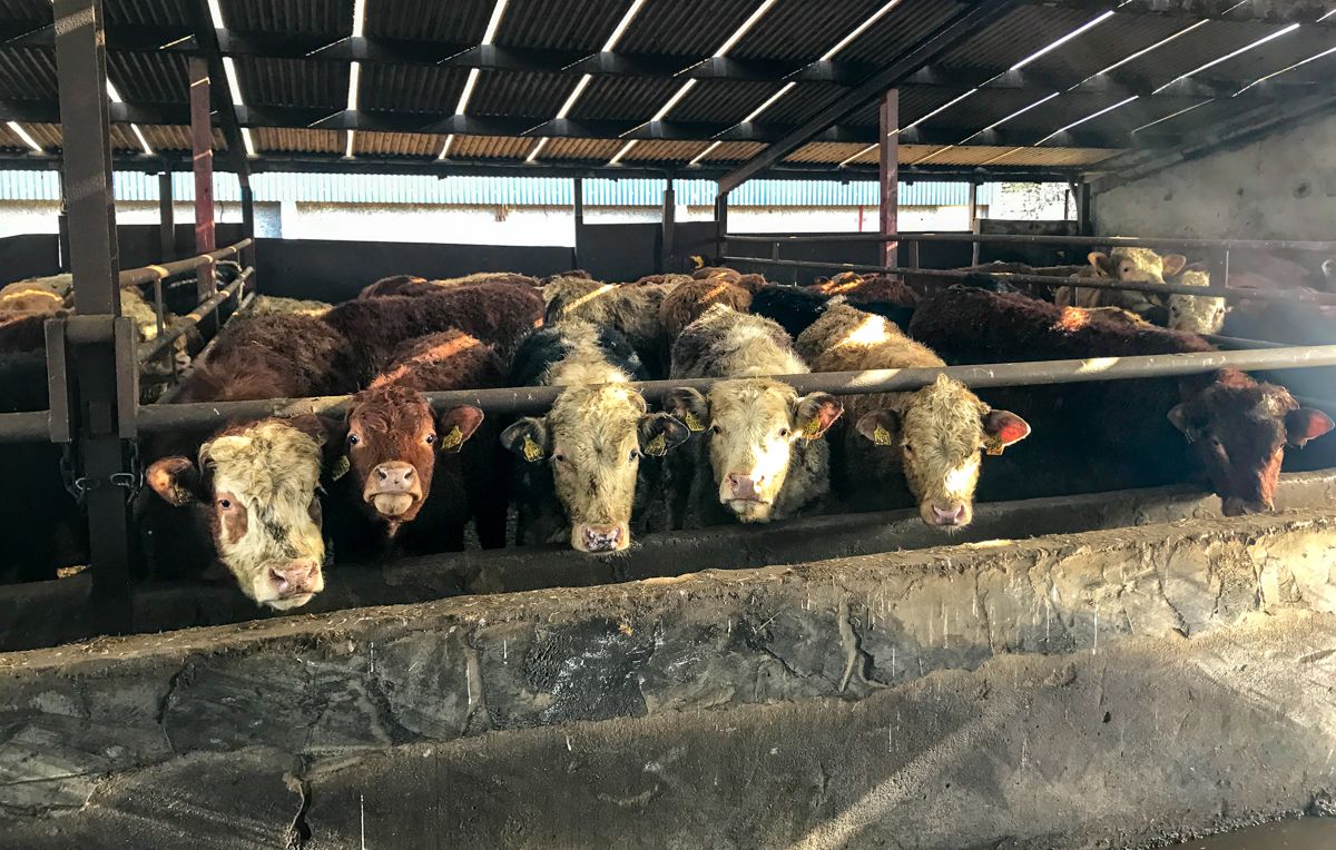
Farming and field conditions
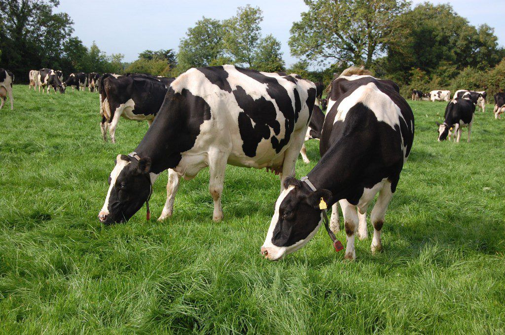
There will be little in the way of drying in the coming week with rainfall expected over the early part of the coming week, the driest days look to be Thursday and Friday; however light winds will do little for drying.
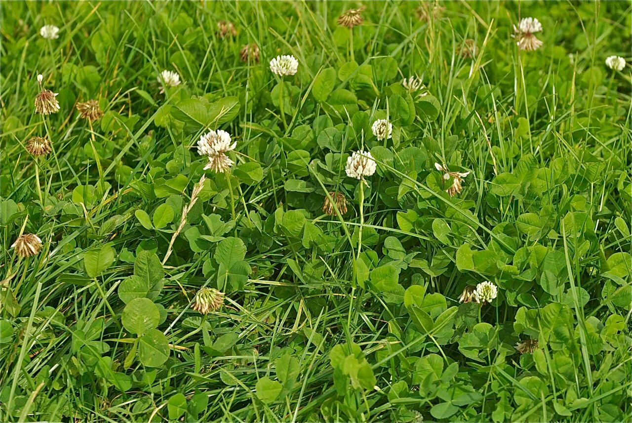
Regarding field conditions, after a brief reprieve from the rain soil moisture deficits have altered little.
However this coming week looks to be wet once again and saturated soils will become waterlogged in many areas once again.
Tomorrow
Tomorrow will see further outbreaks for rain. It will be dry and clear for a time in Ulster, and the rain will be patchier along the south coast.
Afternoon temperatures will be just 3° or 4° in Ulster, and around 9° or 10° elsewhere. Generally light easterly winds are expected over the north and east with moderate west to southwest winds elsewhere.
It will be coldest over the northeastern half of the country with lowest temperatures of 2° to 4° there.
Temperatures will be generally unchanged from the daytime elsewhere at around 9°.
Outlook
It will be mostly cloudy on Wednesday with rain clearing away to the northeast through the morning followed by scattered showers, most frequent in the west with limited bright spells, Met Éireann says.
Highest temperatures of 10° or 11° are forecast in moderate southwesterly breezes. Wednesday night will become mostly dry with showers dying out.
Lowest temperatures of 6° or 7° in mostly moderate westerly breezes are given.
Thursday will be a mostly dry day with good spells of sunshine and just some patchy drizzle on southern coastal counties.
Highest temperatures of 7° to 9° degrees in light northwesterly breezes are on the cards.
Light winds will become southerly by morning with some mist and fog patches forming, Met Éireann concludes.