Turning wet next week but with slightly higher temperatures


The weather will turn wet next week, but with temperatures increasing slightly compared to this week.
Rain will continue to move eastwards across the country this morning (Friday, November 20) and will be heavy at times giving a risk of spot flooding. The rain will clear into the Irish Sea later this morning but it will remain cloudy through the rest of the day with patchy outbreaks of light rain or drizzle in places.
Highest temperatures will be 10° to 12° in mostly fresh but occasionally strong and gusty southwest winds.
Temperatures will stay around 10° or 11° tonight in the south and east, but will fall to between 6° and 9° in the northwest as the rain passes. Southwesterly winds will be mostly moderate to fresh but occasionally strong and gusty.
It will be cloudy and mild with outbreaks of rain across the south and east at first tomorrow morning (Saturday, November 21), but this rain will clear southeastwards through the morning, followed by sunny spells and showers from the northwest. Showers will be most frequent in Connacht and Ulster.
Tomorrow afternoon will start out with temperatures ranging from 7° to 12° north to south, but reducing to 6° to 9° by late afternoon. Winds will be mainly light to moderate southwesterly.
Sunday (November 22) will be largely dry with varying cloud cover, so there will be sunshine at times. There will be a few showers too, mainly affecting the west and northwest. It will be a cold day, with afternoon temperatures of just 6° to 9° but light to moderate southwesterly winds continuing.
Sunday night will be a dry night with clear spells countrywide at first, but cloud will increase overnight with some patchy rain reaching western coastal areas by morning. Temperatures will be similar to Saturday night, ranging from 2° to 6° with fresh southerly winds developing in the west.
Rain in the west and northwest early Monday morning (November 23) will spread across the country through the day and will be heavy at times. South to southwest winds will increase moderate to fresh and it will become milder, with afternoon temperatures of 9° to 11°.
Southwesterly winds will ease light to moderate in most places Monday night, but will stay fresh in the southeast.
Rain is likely to persist across the south during Tuesday (November 24), with drier but cloudy conditions further north. It will be a cold day in most areas with afternoon temperatures of 6° to 9°, but a few degrees higher in the south and southeast.
Soils
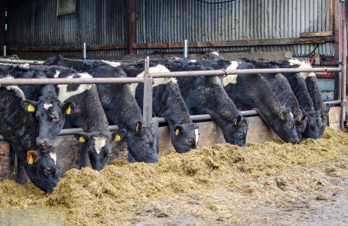
Well and moderately-drained soils are saturated countrywide with poorly soils waterlogged.
With near to above average rainfall expected in the coming week, along with limited drying opportunities, soil conditions are unlikely to improve and moderately drained soils will become waterlogged at times.
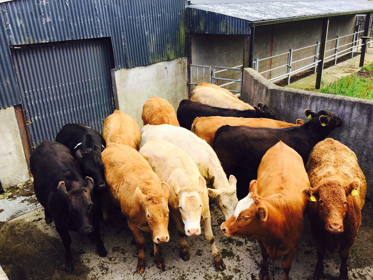
Poor field trafficability can be expected.