Thunderstorms set to affect most parts of the country this evening

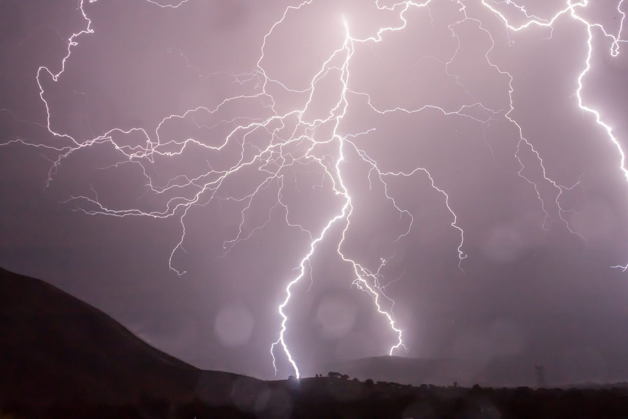
A status orange thunderstorm warning has been issued for most parts of the country by Met Eireann this evening.
Issued earlier this evening, the warning came into effect at 4:00pm; it is set to remain in place until 8:00pm tonight.
The warning relates to the risk of thunderstorm activity this evening over parts of Connacht, Leinster and Ulster.
Later tonight is expected to bring a mix of clear spells and scattered showers; the showers will mainly affect the western half of the country, according to Met Eireann.
Tomorrow, Thursday, is forecast to be a blustery day with widespread showers. The showers are likely to be heavy at times; there is a risk they will merge into longer spells of rain in the west and northwest by evening time.
Highest temperatures of 15º to 19º, with fresh to strong west to southwest winds expected. Tomorrow night will continue to be breezy with scattered showers in the west and north.
Showers will become isolated in the east and southeast, Met Eireann added. Lowest temperatures of 11º to 13º are forecast in moderate to fresh southwesterly winds.
Friday will see further scattered showers develop along with some sunny spells. It will be blustery at first with fresh southwesterly winds, but winds will moderate later, Met Eireann explained.
It is expected to continue to remain cool with top temperatures of 16º to 18º.