Thunderstorm warning for country extended

A Status Yellow thunderstorm and rain warning issued by Met Éireann for today (Thursday, August 5) will now be in place until 10:00p.m tonight.
The warning, issued yesterday (Wednesday), was initially in place from 6:00a.m this morning until 7:00p.m this evening, but in an update, the national forecaster has said the very unsettled conditions will continue later into the night.
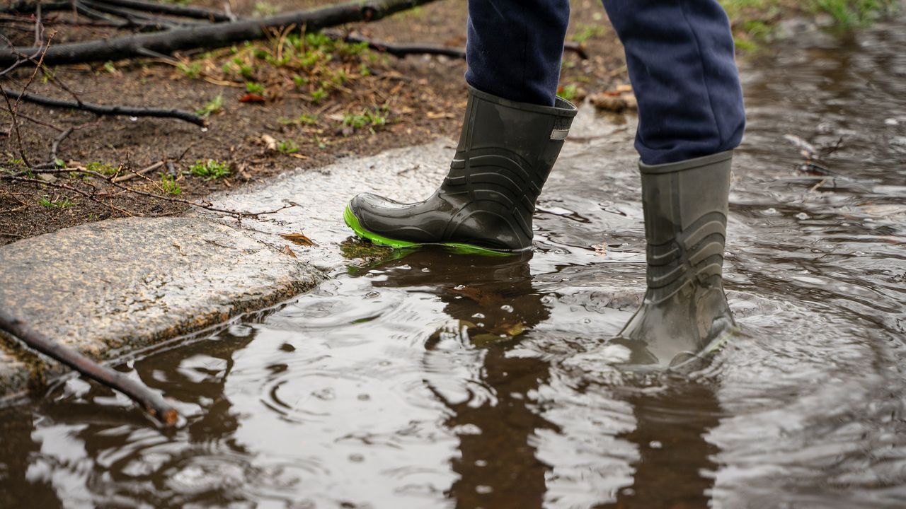
There will be thunderstorm activity with the risk of hail, leading to localised flooding and hazardous driving conditions, Met Éireann has warned.
Thunderstorm warning for NI
There is also a Status Yellow thunderstorm warning issued by the UK Met Office for northern counties Antrim, Armagh, Down, Fermanagh, Tyrone and Derry.
From 1:00p.m today until 10:00p.m, there will be heavy, slow moving thunderstorms that will give a risk of flooding and travel disruption.
There is also a similar warning in place for these counties from Friday at 10:00a.m until 9:00a.m on Saturday.
There will be slow moving thundery downpours that may cause localised surface water impacts.
Unsettled days ahead
Overall, unsettled showery conditions will continue over the weekend and, while early next week looks a little tamer, the unsettled conditions will return by the middle of next week.
Friday will see thundery showers and longer spells of rain over the northern half of the country with the continued risk of spot flooding.
Friday night will be a mostly cloudy night, with showers or longer spells of rain continuing overnight and just occasional clear spells.
Saturday will be a breezy day with widespread showers in the north and east and isolated thunderstorms bringing the risk of spot flooding. It will be generally drier and brighter towards the southwest with just isolated showers.
Showers will become mostly confined to Ulster and Atlantic coastal counties overnight.
On Sunday, showery conditions will continue with thunderstorms possible. Showers will be heaviest and most frequent over the northern half of the country.