Temperatures set to plummet following wet start to week

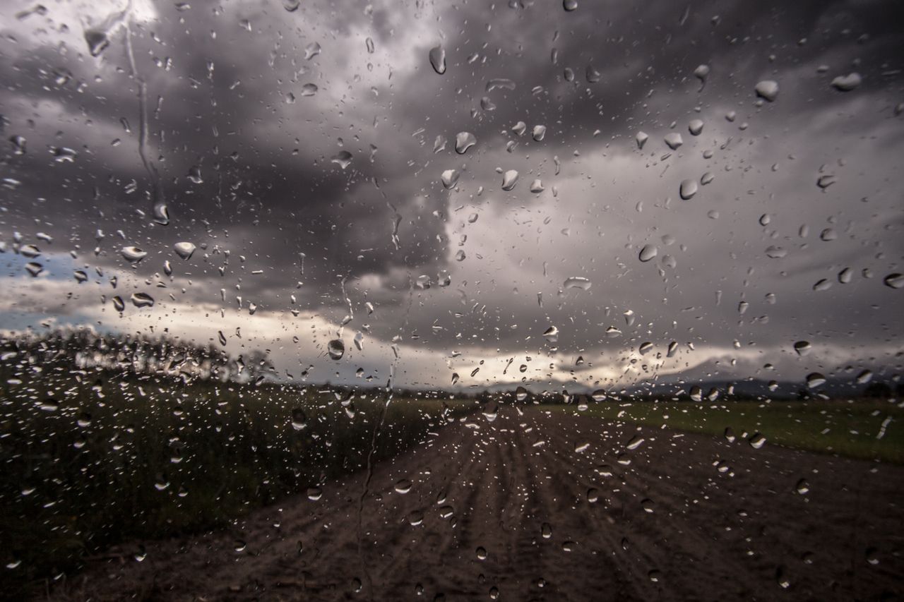
A wet start to the week is in store, with a Status Yellow rainfall warning in place for eight counties this morning (Monday, November 23), according to Met Éireann.
This will be followed in the coming days by dry and calm weather but conditions will turn very cold, with frost, fog and possible icy stretches, the forecaster says.
Overnight frost will clear to give a largely dry morning with some sunny spells – brightest across the midlands and east, where it will stay largely dry today.
However, it will become cloudy or overcast as scattered outbreaks of rain and drizzle slowly move in from the west, turning more persistent across Atlantic counties later today.
Met Éireann warns that heavy rain later today, tonight and tomorrow may cause some river and localised flooding.
This afternoon will become breezy too, in a freshening southwest wind, which will be stronger along coasts. Highest temperatures of 10° to 12° will be felt.
Tonight will see heavy outbreaks of rain affect the western half of the country, bringing the risk of some river and localised flooding. Outbreaks of rain will become more widespread overnight.
It will be breezy at times, with moderate to fresh and gusty southwest winds. Lowest temperatures of 6° to 11° are forecast, turning colder from the northwest towards morning.
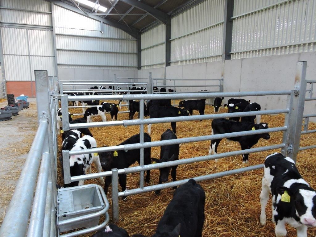
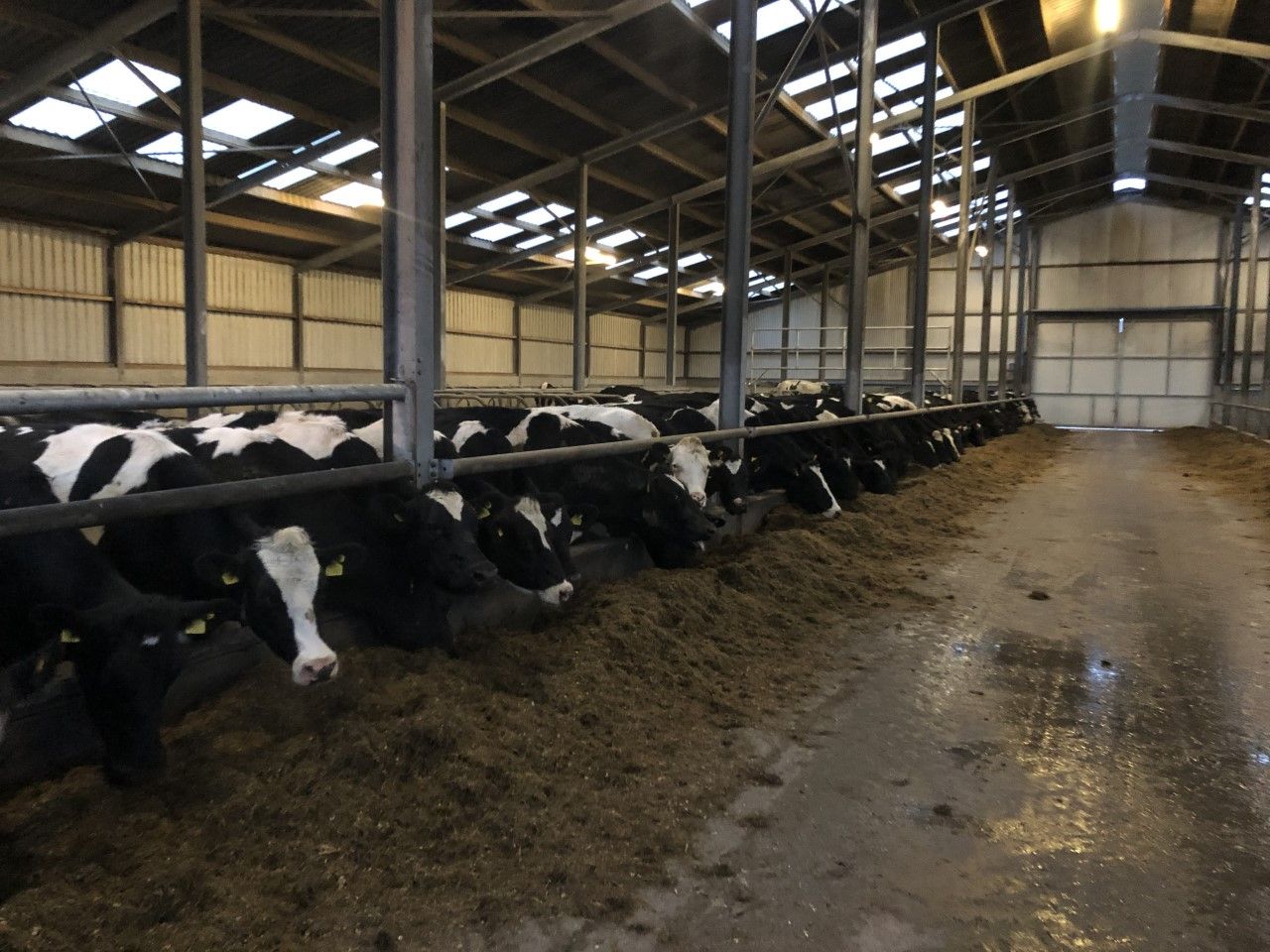
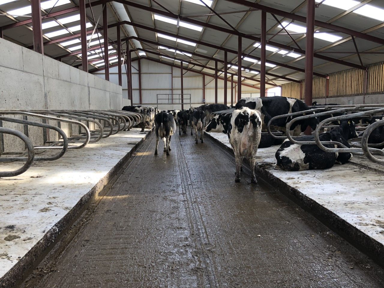
Farming and field conditions
Drying conditions will be quite limited over the coming week. Wednesday and Thursday look to be the driest days with just isolated showers but winds will be quite light then.
With above average rainfall expected in many areas over the coming week, along with limited drying opportunities, soil conditions are unlikely to improve much over the week.
Poor field trafficability can be expected to continue.
Tomorrow
Heavy spells of overnight rain will persist into tomorrow, bringing the ongoing risk of flooding. It will be wettest across the western half of the country in the morning, and later in the day across the eastern half of Ireland.
It should brighten up from the west, but will turn colder. Highest afternoon temperatures will range from 5° to 10°, best values across eastern counties.
Southerly winds will be fresh and gusty at first, but will ease through the day.
It will become dry early in the night, though some scattered showers will move into Atlantic counties overnight.
Conditions will turn cold with frost and possibly a few icy stretches, Met Éireann adds, with some mist and fog developing in parts too. Lowest temperatures will drop to 0° to 5°, in light southwest to west breezes.
Wednesday
Frost and any possible icy stretches will clear early on, to give a mostly dry day with long spells of autumn sunshine – just a few stray showers across the north and northwest, the national meteorological office says.
A cool and crisp day is in store with highest temperatures of 7° to 9° in just light westerly breezes.
Thursday
Thursday will be a mostly dry and calm day, but a cold day with variable cloud cover. Frost and fog may be slow to clear in some areas.
Highest temperatures of just 4° to 8° are expected. A few stray light showers will appear after dark, but the evening will overall be dry and calm.
Another cold and frosty night is in store, with some dense fog in parts and lowest temperatures of 0° to -3°.